- Maliotenam
-
Maliotenam 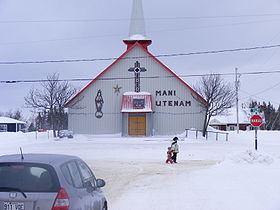
Administration Pays  Canada
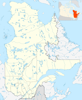
Province  Québec
Région Côte-Nord Statut municipal Réserve indienne Constitution 1949 Maire
Mandat en coursGeorges-Ernest Grégoire (chef)
2007 -Démographie Population 1 123 hab. (2006) Densité 221,9 hab./km2 Géographie Coordonnées
géographiquesSuperficie 5,06 km2 Code géographique 24 97804 Géolocalisation sur la carte : Québec

modifier 
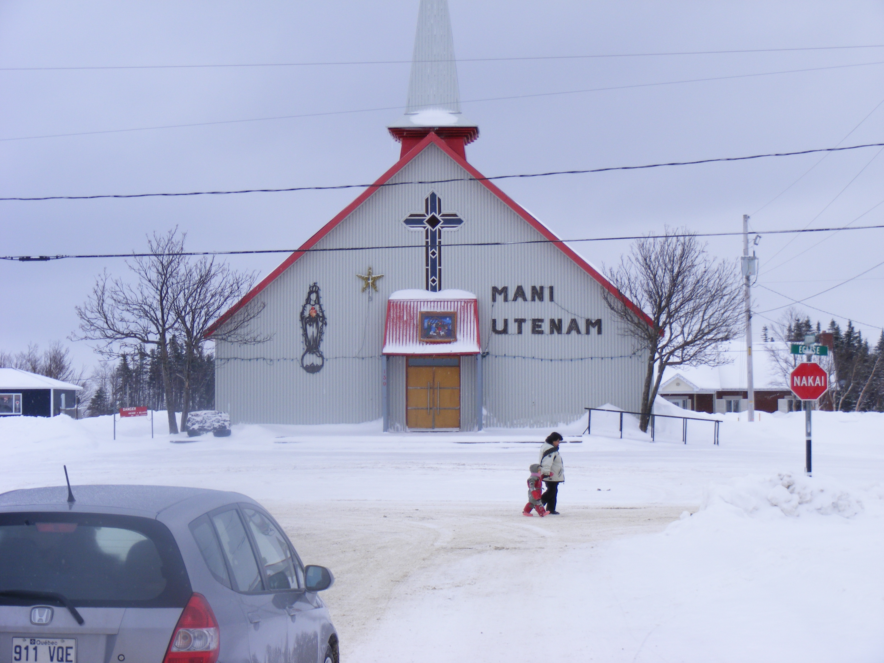
Maliotenam ou Mani-Utenam en Innu-aimun (« ville de Marie »)[1] est une réserve indienne innue canadienne de la province de Québec dans la municipalité régionale de comté des Sept-Rivières, située dans la région administrative de la Côte-Nord et à 14 km à l'est de Sept-Îles[2].
Elle a le même conseil de bande que la réserve indienne de Uashat. Chaque été, le Festival Innu Nikamu a lieu au premier jeudi du mois d'août. Le très populaire duo Kashtin vient de Mani-Utenam et la station de radio locale est CKAU.
Le recensement de 2006 y dénombre 1 123 habitants[3].
Références
Lien externe
Municipalités limitrophes


Wikimedia Foundation. 2010.