- Kervo
-
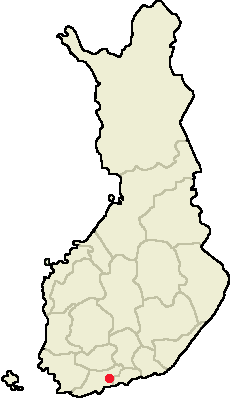
Kerava
Kerava Pays Finlande

Province historique Uusimaa Province Finlande méridionale Région Uusimaa Fondée en 1924 Droits de Cité 1970 Langue officielle unilingue finnois Altitudes minimale : env 30 m
maximale : env 110 mSuperficie
dont eau30.86 km²
0.11 km²Rang
(Superficie hors eau)427 e Population
Rang population31 544 hab.
(1.1.2006)
30 eDensité 1 026 hab./km² Kerava est une ville du sud de la Finlande dans la région d'Uusimaa et la province de Finlande méridionale. Elle fait partie de la banlieue nord de la capitale Helsinki, étant souvent rattachée à la région d'Helsinki. Elle est traversée par l'autoroute no 4, (E75) et également reliée au centre d'Helsinki (27 km) par train de banlieue. Ville de taille moyenne, c'est la 30e du pays par la population.
Un petit village est mentionné dès 1440. Il aurait compté 160 habitants vers l'an 1500. Cependant, la commune n'acquiert son autonomie qu'en 1924 lorsqu'elle est séparée de Tuusula.
La ville est largement industrielle et densément peuplée. La tradition industrielle date de l'ouverture de la voie ferrée d'Hämeenlinna, la première de Finlande, inaugurée en 1862. Elle a tout d'abord abrité des usines de matériaux de construction, brique, ciment, bois... A l'heure actuelle, le principal employeur privé de la ville est la brasserie Sinebrychoff (marque Koff notamment), la plus grande de Finlande, filiale du groupe Carlsberg. On y trouve également la plus grande prison du pays (fondée en 1927).
Malgré les nombreux emplois offerts, la majorité des habitants travaille ailleurs dans l'agglomération, notamment à Vantaa et à Helsinki, et réside à Kerava pour bénéficier de prix plus bas notamment pour le logement. Elle connaît de ce fait une croissance de la population de 1% par an, supérieure à la capitale, mais restant néanmoins inférieure aux communes plus étendues comme Nurmijärvi.
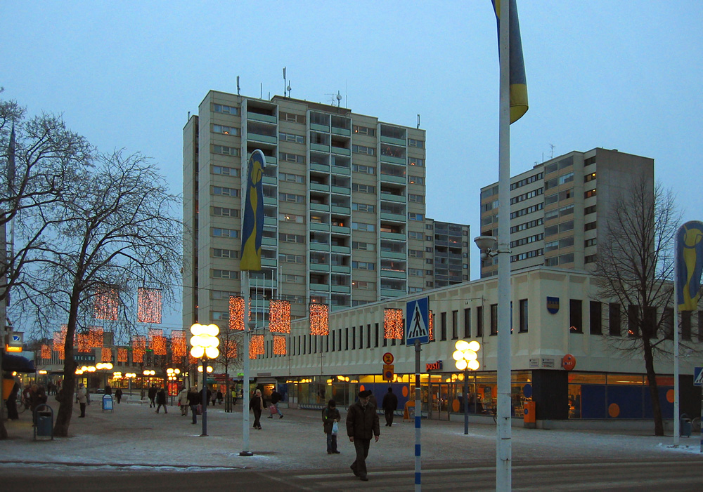
La ville se présente comme une zone urbaine assez compacte, coincée entre l'autoroute et le lac Tuusulanjärvi (distant de 3 km environ). On y trouve la plus longue rue piétonne de Finlande (850 m).
Kerava est bordée par les villes et municipalités suivantes : Vantaa au sud, Tuusula à l'ouest et au nord, et Sipoo à l'est (Uusimaa de l'Est).
 Centre ville et rue piétonne
Jumelage
La commune de Kerava est jumelée avec : [1]
 Trollhättan (Suède)
 Hjørring (Danemark)
 Kristiansand (Norvège)
 Reykjanesbær (Islande)
 Ogre (Lettonie)
 Solt (Hongrie)
  Vladimir (Russie)
Liens externes
- (fi)(sv)(en) Ville de Kerava
Références

Municipalités d'Uusimaa 
Ekenäs - Espoo - Hanko - Helsinki - Hyvinkää - Ingå - Järvenpää - Karis - Karjalohja - Karkkila - Kauniainen - Kerava - Kirkkonummi - Lohja - Mäntsälä - Nummi-Pusula - Nurmijärvi - Pohja - Pornainen - Sammatti - Siuntio - Tuusula - Vantaa - Vihti
Finlande méridionale | Finlande Portail de la Finlande
Catégories : Ville de Finlande | Municipalité d'Uusimaa

Wikimedia Foundation. 2010.