Blahnjukur
- Blahnjukur
-
Bláhnjúkur
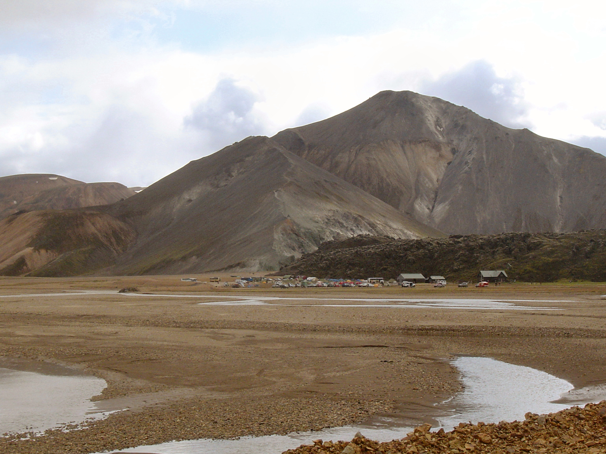
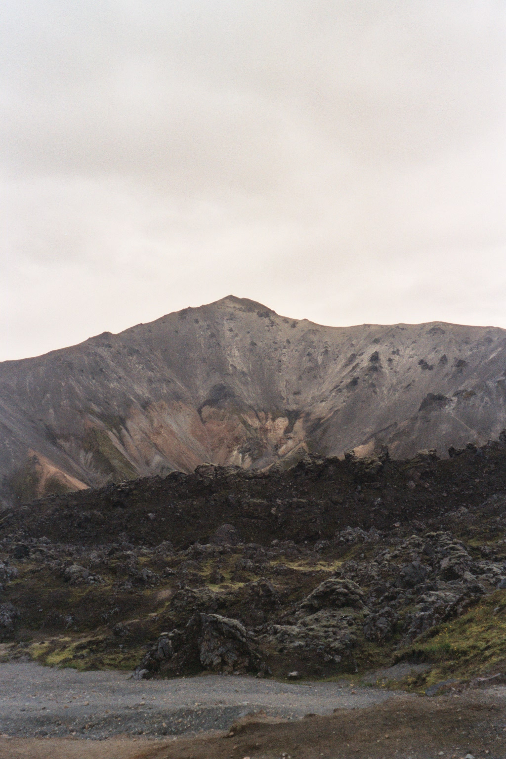
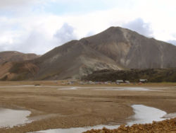
Le volcan Bláhnjúkur (940 m) est situé dans le sud de l'Islande.
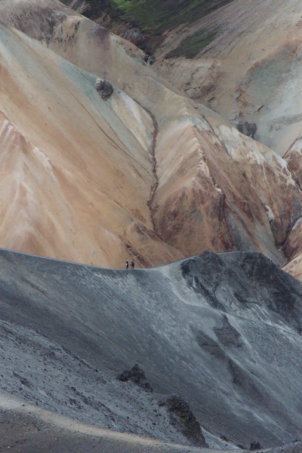
La montagne bleue (traduction de Bláhnjúkur) doit son nom à sa coloration bleu-vert caractéristique.
La montagne se trouve au Landmannalaugar, une région connue pour ses tons multicolores. De son pic, on a une vue dégagée dans toutes les directions, notamment sur six glaciers à l'horizon.
La couleur caractéristique des pentes du Bláhnjúkur
|
Voir aussi
Liens externes
 Portail de l’Islande
 Portail de la montagne
 Portail de la volcanologie
Catégories : Volcan actif | Volcan rouge | Volcan d'Islande
Wikimedia Foundation.
2010.
Contenu soumis à la licence CC-BY-SA. Source : Article Blahnjukur de Wikipédia en français (auteurs)
Regardez d'autres dictionnaires:
Bláhnjúkur — Le Bláhnjúkur dans le Landmannalaugar. Géographie Altitude 940 m Massif Hautes Terres d Islande … Wikipédia en Français
Bláhnjúkur — Infobox Mountain Name = Bláhnjúkur Photo = Bláhnjúkur.jpg| Caption = Bláhnjúkur, 2004 Elevation = 940 metres (3,084 ft) Range= Location = Landmannalaugar, Iceland Prominence = Coordinates = Type=Volcano|Age=|Last eruption= Translation = Blue… … Wikipedia
Bláhnjúkur — Bláhnúkur Bláhnúkur, im Vordergrund der Campingplatz von Landmannalaugar Höhe 940 m … Deutsch Wikipedia
Bláhnúkur — Bláhnúkur, im Vordergrund der Campingplatz von Landmannalaugar Höhe … Deutsch Wikipedia
Landmannalaugar — Heiße Quelle in Landmannalaugar im … Deutsch Wikipedia
Liste des volcans d'Islande — L Eyjafjöll en éruption en 2010. Cet article recense les volcans d Islande. Sommaire 1 Caractéristiques … Wikipédia en Français
Landmannalaugar — (Icelandic, meaning the hot springs of the people of (the) land ) is a region near the volcano Hekla in the Southern Highlands of Iceland.The Landmannalaugar area is famous for its natural beauty. The area consists of many geological elements,… … Wikipedia
List of Iceland-related articles — For a topical list, see List of basic Iceland topics Articles (arranged alphabetically) related to Iceland include: NOTOC 1 9 1. deild karla 101 Reykjavík 12 Tónar 1924 28 Nordic Football Championship 1929 32 Nordic Football Championship 1933 36… … Wikipedia
Landmannalaugar — 63° 58′ 59″ N 19° 04′ 01″ W / 63.983, 19.067 … Wikipédia en Français
Laugavegur — Le Laugavegur ou Laugavegurinn (« route des sources chaudes ») est le nom islandais du réputé trek en Islande reliant Landmannalaugar à Þórsmörk. Ce trek est aussi un ultramarathon annuel pour les Islandais … Wikipédia en Français
 Islande
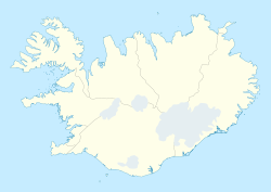


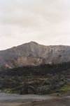 Le Bláhnjúkur