- Wormerland
-
Womerland 
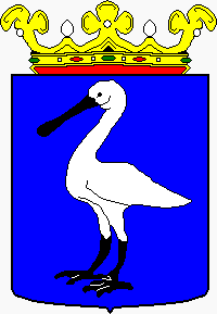
Héraldique
DrapeauAdministration Pays  Pays-Bas
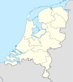
Province Hollande-Septentrionale Code postal 1456-1458, 1530-1534, 1546 Géographie Coordonnées Superficie 4 514 ha = 45,14 km2 - Terre 3 863 ha = 38,63 km2 - Eau 651 ha = 6,51 km2 Démographie Population 15 836 hab. Densité 410 hab./km2 Localisation 
Géolocalisation sur la carte : [[Modèle:Géolocalisation/Hollande septentrionale]]
[[Fichier:Modèle:Géolocalisation/Hollande septentrionale|250px|(Voir situation sur carte : [[Modèle:Géolocalisation/Hollande septentrionale]])]]
Géolocalisation sur la carte : Pays-Bas
modifier 
Wormerland
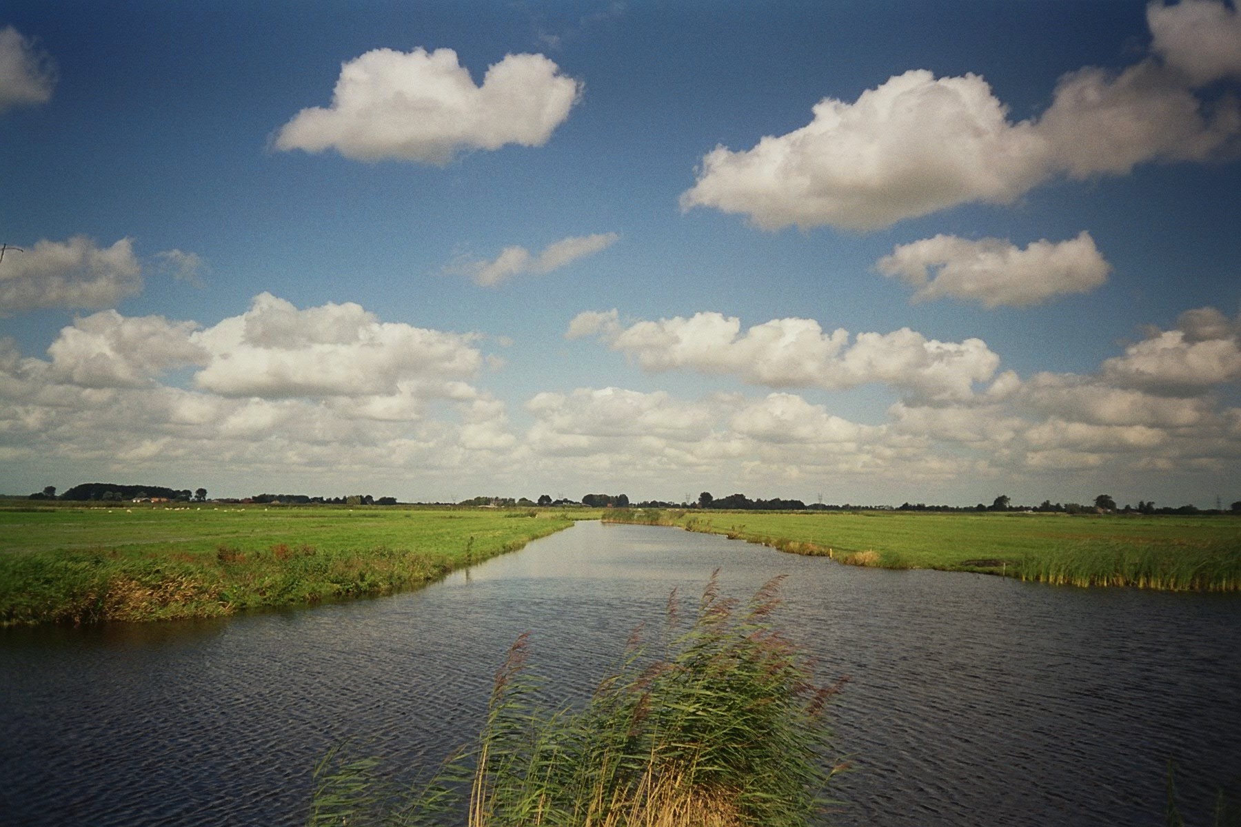
 est une commune néerlandaise située dans la province de la Hollande septentrionale. Sa superficie est de 45,14 km² dont 6,51 km² d’eau.
Elle est constituée des villages de Jisp, Neck, Oostknollendam, Spijkerboor, Wijdewormer, Wormer.
Elle est membre de la communauté de communes Stadsregio Amsterdam regroupant les communes autour de d'Amsterdam.
Lien externe
(nl) Site officiel
Catégories :- Wormerland
- Commune de la Hollande-Septentrionale


Wikimedia Foundation. 2010.