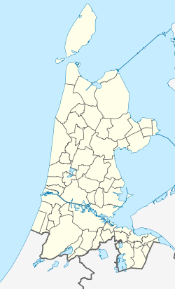
Bloemendaal
Contenu soumis à la licence CC-BY-SA. Source : Article Bloemendaal de Wikipédia en français (auteurs)
Regardez d'autres dictionnaires:
Bloemendaal — [ bluːməndaːl], Stadt in der Provinz Nordholland, Niederlande, 16 700 Einwohner; Villenvorort westlich von Haarlem. Zwischen Bloemendaal und dem Gemeindeteil Bloemendaal aan Zee (Seebad) liegt der Nationalpark Kennemerduinen (1 240 ha;… … Universal-Lexikon
Bloemendaal — (spr. Blumendal), 1) Dorf im Bezirk Haarlem, Provinz Holland (Niederlande); Bleichen (Haarlemer Bleichen), Blumenzucht; 1500 Ew.; 2) Schanze, der Festung Klundert (s.d.) in NBrabant gegenüber … Pierer's Universal-Lexikon
Bloemendaal — (spr. blumen ), durch seine Handelsgärtnereien bekanntes Dorf im NW. von Haarlem, an der Eisenbahn Haarlem Uitgeest; 6 km nordwestlich die aussichtsreiche Blaue Treppe, eine 60 m hohe Düne, unweit der Trümmer des Schlosses Brederode … Meyers Großes Konversations-Lexikon
Bloemendaal — Infobox Settlement official name = Bloemendaal imagesize = image caption = imagesize = image caption = flag size = 120x100px image shield = Bloemendaal wapen.png shield size = 120x100px mapsize = 280px subdivision type = Country subdivision name … Wikipedia
Bloemendaal — Gemeinde Bloemendaal Flagge Wappen Provinz Nordholland Bür … Deutsch Wikipedia
Bloemendaal — 1 Original name in latin Bloemendaal Name in other language Bloemendaal, Bloemendaalseweg State code NL Continent/City Europe/Amsterdam longitude 52.02878 latitude 4.6944 altitude 0 Population 9900 Date 2012 01 17 2 Original name in latin… … Cities with a population over 1000 database
Bloemendaal — Sp Blùmendalis Ap Bloemendaal L Nyderlandai … Pasaulio vietovardžiai. Internetinė duomenų bazė
Bloemendaal — Sp Blùmendalis Ap Bloemendaal L Olandija … Pasaulio vietovardžiai. Internetinė duomenų bazė
Bloemendaal aan Zee — is a seaside resort and neighbourhood in the municipality Bloemendaal, in North Holland province, the Netherlands. It is between the beaches of IJmuiden to the north and Zandvoort to the south and surrounded by the dunes of the Zuid Kennemerland… … Wikipedia
Bloemendaal aan Zee — 52°23′42″N 4°32′16″E / 52.395, 4.53778 … Wikipédia en Français


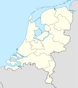
 Pays-Bas