- Ruská Voľa nad Popradom
-
Ruská Voľa nad Popradom
(Village)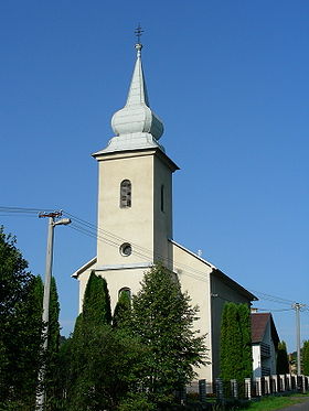
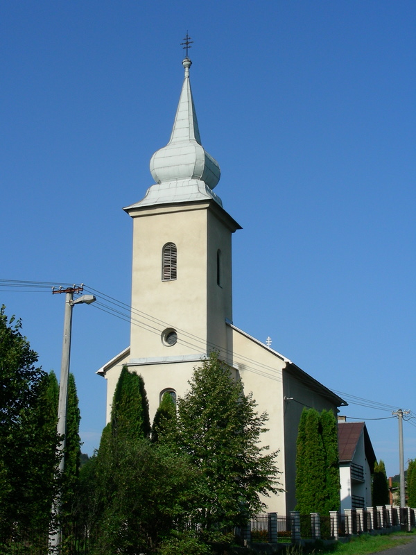
Église catholique de rite byzantinAdministration Pays  Slovaquie
Région Région de Prešov District District de Stará Ľubovňa Code postal 065 42 Plaque minéralogique SL Starosta (maire) Miroslav Tomčo ( SMER,KSS )
Mandat: 2013
Démographie Population 104 hab. (31.12.2007) Densité 17,3 hab./km2 Géographie Coordonnées Altitude 515 m Superficie 602,2738 ha = 6,022738 km² Localisation en Slovaquie 
 Ruská Voľa nad Popradom
 Ruská Voľa nad Popradom
Localisation dans la région de Prešov Sources Resultat des élections http://www.e-obce.sk [1] http://www.statistics.sk [2] http://www.slovakregion.sk/ [3] Ruská Voľa nad Popradom est un village de Slovaquie situé dans la région de Prešov.
Sommaire
Histoire
Première mention écrite du village en 1357.
Anciennes dénominations
- 1588: Nowawolya, Volya
- 1635: Volya, noviter sicata
- 1773: Ruska Wolya, Orosz-Volya
- 1786: Orosz Wolya
- 1808: Orosz-Alsó-Vólya, Orosz Felso-Volya, Ruská Wola
- 1863: Oroszvolya
- 1907: Poprádokros
- 1920: Ruská Voľa
- 1960: Ruská Voľa nad Popradom
Démographie
- 1787: 114 habitants
- 1828: 260 habitants
- 1869: 293 habitants
- 1880: 236 habitants
- 1890: 235 habitants
- 1900: 179 habitants
- 1910: 208 habitants
- 1921: 188 habitants
- 1930: 216 habitants
- 1940: 227 habitants
- 1948: 191 habitants
- 1961: 207 habitants
- 1970: 205 habitants
- 1980: 183 habitants
- 1991: 123 habitants
Notes et références


Wikimedia Foundation. 2010.