- Bredfield
-
Bredfield 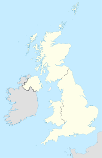

Localisation de la communeAdministration Pays Royaume-Uni Nation  Angleterre
Comté Suffolk Statut village (1086) Maire (Mayor)
Mandat en coursaucun (Parti conservateur)
2005-2009Site web Consulter Géographie Coordonnées Superficie 4,48 km² Autres informations Population 308 hab. (2001) Densité 69 hab./km² Indicatif téléphonique (0)1394 Bredfield est un petit village et paroisse (commune) du comté de Suffolk dans la péninsule d'Est-Anglie en Angleterre (Royaume-Uni). Il se trouve à environ 4 km au nord de la ville de Woodbridge, et avoisine, sur son côté nord, le village encore plus petit de Dallinghoo et, sur son côté ouest, le hameau de Boulge. Sa population en 2001 était de 308 habitants (dont 10 étudiants résidant en dehors du village)[1].
Histoire
Bredfield apparait, en 1086, dans le Domesday Book (Livre du Jugement Dernier) sous le nom anglo-saxon (vieil anglais) de Brēde Feld (broad clearing - clairière large).
Le village abritait autrefois le manoir historique appelé Bredfield House (aussi connu sous le nom "White House" - Maison blanche) où est né en 1809 le célèbre poète et écrivain anglais Edward FitzGerald. Ce cernier fut le premier traducteur vers l'anglais du Rubaïyat, un ensemble de poèmes écrits par le savant perse Omar Khayyām. Le manoir a subi des dégâts considérables pendant la Seconde Guerre mondiale et fut demoli après.
Références
- Suffolk County Council - 2001 Census Profiles (Conseil régional du comté de Suffolk : Profils du recensement de 2001), cité (en anglais) ici
Liens externes
- Bredfield.org.uk (en anglais)
- Bredfield.com (en anglais)
Catégorie :- Village du Suffolk

Wikimedia Foundation. 2010.