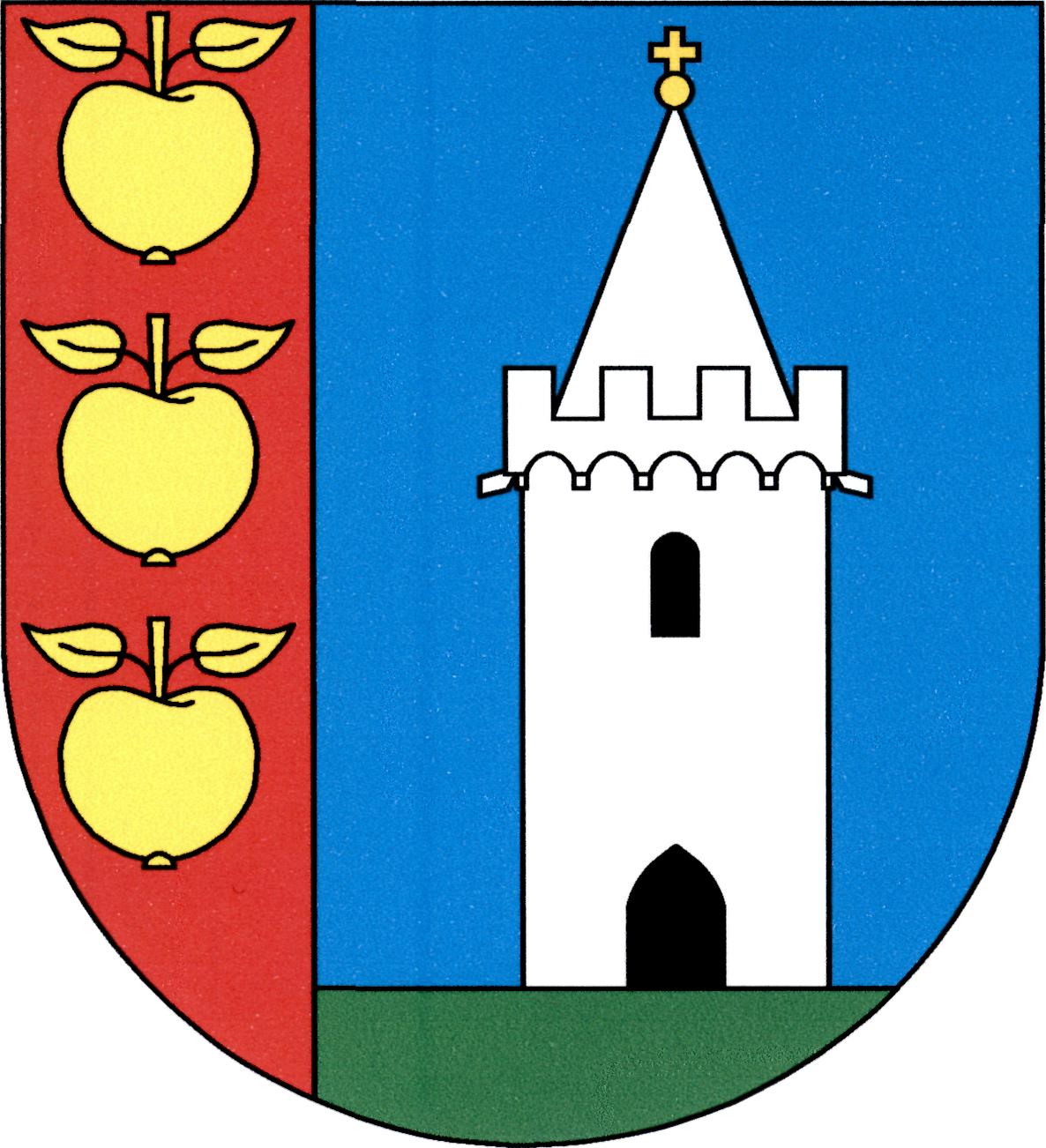
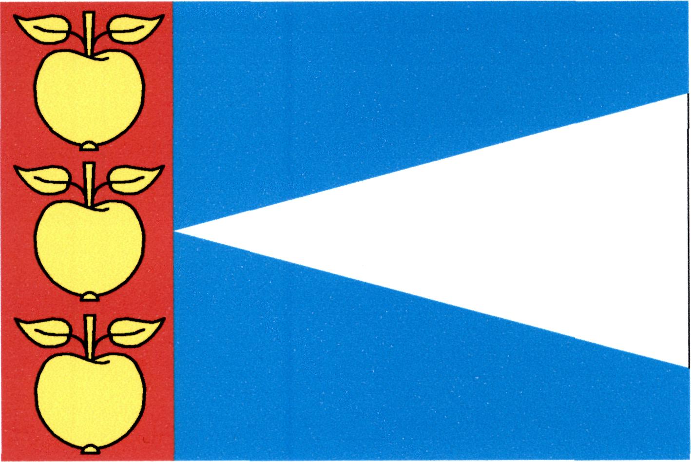
Stolany
Contenu soumis à la licence CC-BY-SA. Source : Article Stolany de Wikipédia en français (auteurs)
Regardez d'autres dictionnaires:
Stolany — is a village in the Pardubice Region of the Czech Republic. It has around 350 inhabitants.External links* [http://www.portal.gov.cz/wps/portal/ s.155/696?kam=obec kod=547891 Short official information about the village] (in Czech) … Wikipedia
AFK Atlantic Lazne Bohdanec — Bohdaneč Voller Name AFK Atlantic Lázně Bohdaneč Gegründet 1918 Klubfarben Blau Weiß … Deutsch Wikipedia
AFK Atlantic Lázně Bohdaneč — Bohdaneč Voller Name AFK Atlantic Lázně Bohdaneč Gegründet 1918 … Deutsch Wikipedia
Atlantic Lazne Bohdanec — Bohdaneč Voller Name AFK Atlantic Lázně Bohdaneč Gegründet 1918 Klubfarben Blau Weiß … Deutsch Wikipedia
Atlantic Lázně Bohdaneč — Bohdaneč Voller Name AFK Atlantic Lázně Bohdaneč Gegründet 1918 Klubfarben Blau Weiß … Deutsch Wikipedia
District de Chrudim — Okres Chrudim (cs) Administration … Wikipédia en Français
List of football clubs in the Czech Republic — This is a list of teams in the Czech Republic Football Leagues. As of 2011/12 season. Contents 1 First level Gambrinus Liga 2 Second level Druhá liga 3 Third level 3.1 … Wikipedia
Chrudim — Coordinates: 49°57′4″N 15°47′44″E / 49.95111°N 15.79556°E / 49.95111; 15.79556 … Wikipedia
Chrudim District — Okres Chrudim District Chrudim town … Wikipedia
Chrast (Chrudim District) — See other locations named Chrast and Chrást. Coordinates: 49°54′6″N 15°55′56″E / 49.90167°N 15.93222°E / … Wikipedia

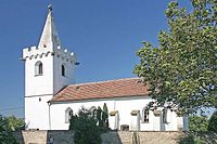 Église locale
 République tchèque
 Stolany