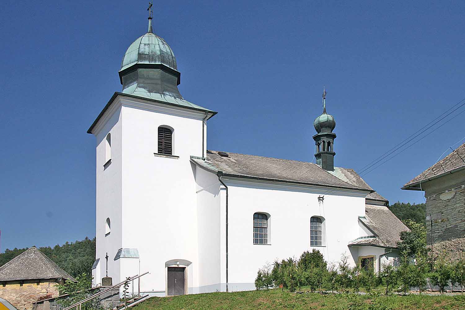
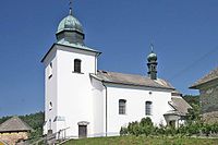
Vrbatův Kostelec
Contenu soumis à la licence CC-BY-SA. Source : Article Vrbatův Kostelec de Wikipédia en français (auteurs)
Regardez d'autres dictionnaires:
Vrbatův Kostelec — is a village in the Pardubice Region of the Czech Republic. It has around 340 inhabitants.Villages Cejřov, Habroveč and Louka are administrative parts of Vrbatův Kostelec.External links* [http://portal.gov.cz/wps/portal/ s.155/696?kam=obec… … Wikipedia
Kostelec — ist der Name mehrerer Orte in Tschechien Stadt Kostelec nad Černými Lesy (Schwarzkosteletz), Okres Praha východ Stadt Kostelec nad Labem (Elbekosteletz), Okres Mělník Stadt Kostelec na Hané (Kosteletz in der Hanna), Okres Prostějov Stadt Kostelec … Deutsch Wikipedia
Kostelec u Heřmanova Městce — Administration Pays Tcheque, republiqu … Wikipédia en Français
Kosteletz — Kostelec ist der Name mehrerer Orte in Tschechien Stadt Kostelec nad Černými Lesy (Schwarzkosteletz), Okres Praha východ Stadt Kostelec nad Labem (Elbekosteletz), Okres Mělník Stadt Kostelec na Hané (Kosteletz in der Hanna), Okres Prostějov Stadt … Deutsch Wikipedia
Ležáky — Este artículo o sección necesita una revisión de ortografía y gramática. Puedes colaborar editándolo (lee aquí sugerencias para mejorar tu ortografía). Cuando se haya corregido, borra este aviso por favor. Ležáky era un pueblo de Checoslovaquia.… … Wikipedia Español
District de Chrudim — Okres Chrudim (cs) Administration … Wikipédia en Français
Chrudim — Coordinates: 49°57′4″N 15°47′44″E / 49.95111°N 15.79556°E / 49.95111; 15.79556 … Wikipedia
Chrudim District — Okres Chrudim District Chrudim town … Wikipedia
Chrast (Chrudim District) — See other locations named Chrast and Chrást. Coordinates: 49°54′6″N 15°55′56″E / 49.90167°N 15.93222°E / … Wikipedia
Nasavrky (Chrudim District) — Location of Nasavrky in the Czech Republic See other places named Nasavrky. Nasavrky is a town in the Pardubice Region of the Czech Republic. It has around 1,500 inhabitants. Villages Villages Březovec, Drahotice, Libáň, Nová Ves, Obořice, Ochoz… … Wikipedia
 Église locale
 République tchèque
 Vrbatův Kostelec