- Interstate 69
-
Interstate 69 

Longueur 572,6 km (355,8 mi) Ouverture 1956 Direction nord / sud Extrémité sud 
 I-465/SR 37 à Indianapolis, IN
Intersections  US 30 à Fort Wayne, IN
 I-94 à Marshall, MI
 I-96 à Lansing, MI
 I-75 à Flint, MI
Extrémité nord  Hwy 402 à Sarnia, ON, Canada
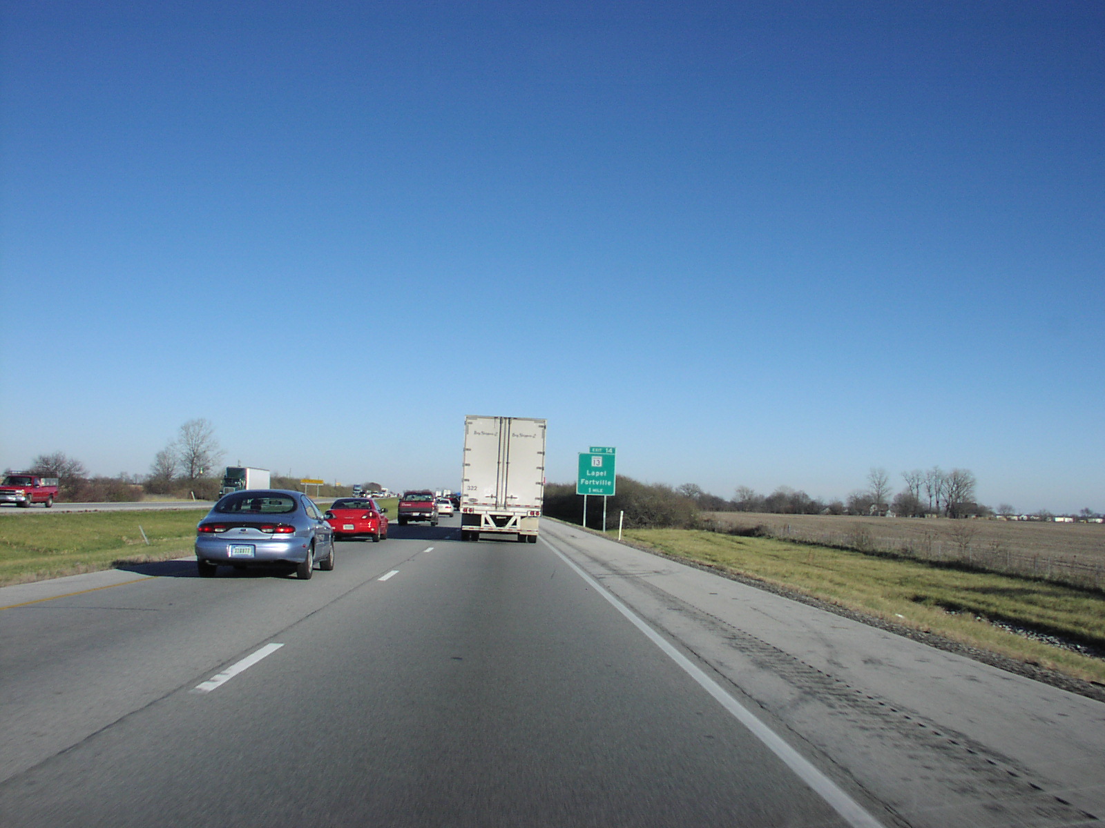
Réseau Interstate highway 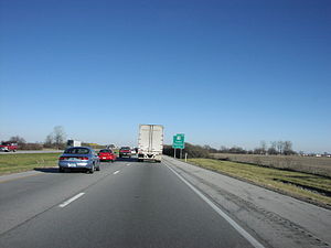 L'interstate 69 près de Fortville, Indiana
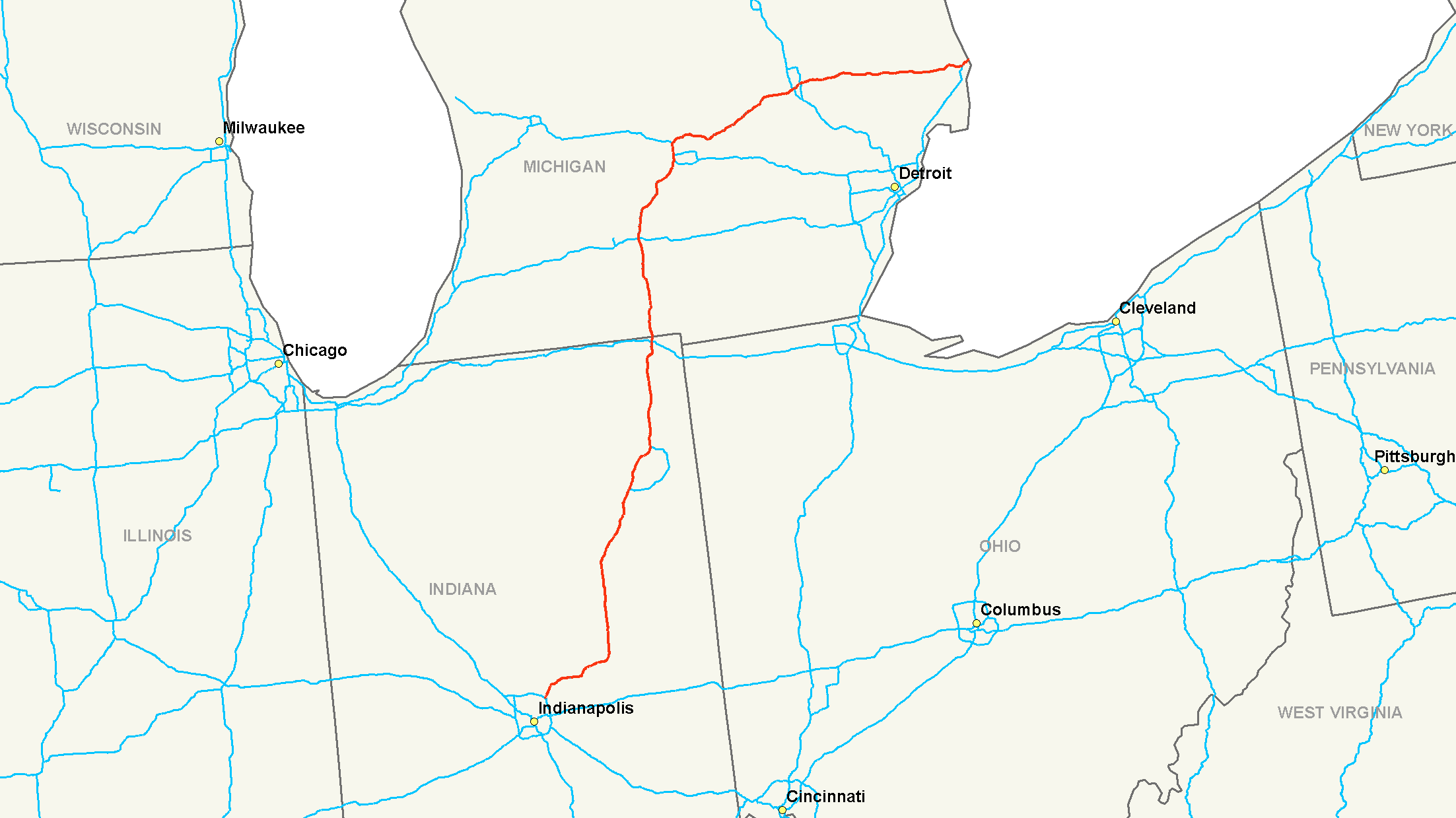
L'Interstate 69 (I-69), est une autoroute inter-États de 572,6 kilomètres de long, située au nord des États-Unis et qui relie les villes d'Indianapolis, Indiana à Sarnia, Ontario à la frontière entre les États-Unis et le Canada. Il est prévu d'étendre cette autoroute vers le sud et la frontière mexicaine. Pour le moment seule une petite portion à quelques kilomètres au sud de Memphis a déjà été construite dans l'État du Mississippi.
Principales villes traversées
- Fishers au nord-est d'Indianapolis
- à l'est d'Anderson
- à l'ouest de Muncie
- à l'est de Marion
- à l'est de Huntington
- à l'ouest de Fort Wayne
- Auburn
- Marshall (à l'est de Battle Creek)
- Lansing
- Flint
- Port Huron
- Sarnia, Ontario
Annexes
Bibliographie
- (en) Matt Dellinger, Interstate 69: The Unfinished History of the Last Great American Highway, Simon and Schuster, 2010, 340 p. (ISBN 9781416542490)
Autoroutes inter-États (principales en rose) 
4 5 8 10 12 15 16 17 19 20 22 24 25 26 27 29 30 35 37 39 40 43 44 45 49 55 57 59 64 65 66 68 69 70 71 72 73 74 75 76 (W) 76 (E) 77 78 79 80 81 82 83 84 (W) 84 (E) 85 86 (W) 86 (E) 87 88 (W) 88 (E) 89 90 91 93 94 95 96 97 99 (238) H-1 H-2 H-3 Autres A-1 A-2 A-3 A-4 PRI-1 PRI-2 PRI-3 Catégorie :- Autoroute inter-États américaine

Wikimedia Foundation. 2010.