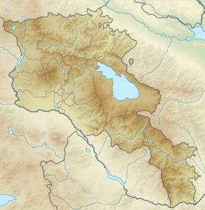
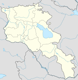
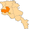
Saghmosavan
- Saghmosavan
-
40° 23′ 09″ N 44° 23′ 38″ E / 40.385833, 44.393889
Saghmosavan (en arménien Սաղմոսավան) est une communauté rurale du marz d'Aragatsotn, en Arménie. Elle compte 205 habitants en 2009[2].
Le monastère de Saghmosavank est situé sur son territoire[3].
Notes et références
- ↑ (hy+en) Central Electoral Commission of the Republic of Armenia. Consulté le 24 janvier 2011.
Pour obtenir la page en anglais,
cliquez sur le drapeau arménien en haut à gauche,
et sélectionnez «
English » ;
ensuite,
dans le menu vertical de gauche,
cliquez sur «
Local »,
sélectionnez le marz pertinent,
puis la dernière élection correspondant à la communauté voulue.
- ↑ (en) ArmStat, Marzes of the Republic of Armenia in figures, « RA Aragatsotn Marz », 2009. Consulté le 19 novembre 2009.
- ↑ (en) Brady Kiesling, Rediscovering Armenia, 2000, p. 21 [lire en ligne (page consultée le 25 mars 2010)] .
Catégorie : - Communauté rurale de l'Aragatsotn
Wikimedia Foundation.
2010.
Contenu soumis à la licence CC-BY-SA. Source : Article Saghmosavan de Wikipédia en français (auteurs)
Regardez d'autres dictionnaires:
Saghmosavan — Infobox Settlement official name =Saghmosavan Սաղմոսավան native name = pushpin mapsize =150px subdivision type = Country subdivision name = Armenia subdivision type1 = Marz (Province) subdivision name1 =Aragatsotn leader title = leader name =… … Wikipedia
Oshakan — This article is about a town in Armenia. For the city in Japan, see Osaka. Oshakan Օշական Oshakan as seen from the western side of Didikond Hill … Wikipedia
Aparan — This article is about the town. For the Malayalam film, see Aparan (film). Aparan Panorama of Aparan with Mount Aragats on the right … Wikipedia
Saghmosavank Monastery — The Saghmosavank monastic complex is an Armenian monastery and church located in the village of Saghmosavan in the Aragatsotn region of Armenia. The monastery complex is five kilometers north of Hovhannavank and like Hovhannavank is perched on… … Wikipedia
Alagyaz — For other places with the same name, see Alagyaz (disambiguation). Coordinates: 40°40′53″N 44°17′25″E / 40.68139°N 44.29028°E / 40.68139; 44.29028 … Wikipedia
Avshen — Coordinates: 40°43′33″N 44°17′30″E / 40.72583°N 44.29167°E / 40.72583; 44.29167 … Wikipedia
Chknagh — Coordinates: 40°35′03″N 44°26′02″E / 40.58417°N 44.43389°E / 40.58417; 44.43389 … Wikipedia
Davtashen, Aragatsotn — For the town in Kotayk Province, see Davtashen, Kotayk. Coordinates: 40°22′N 43°58′E / 40.367°N 43.967°E / 40.367; 43.967 … Wikipedia
Derek, Armenia — Coordinates: 40°42′12″N 44°19′34″E / 40.70333°N 44.32611°E / 40.70333; 44.32611 … Wikipedia
Dian, Armenia — Coordinates: 40°21′10″N 44°04′34″E / 40.35278°N 44.07611°E / 40.35278; 44.07611 … Wikipedia
 Arménie


