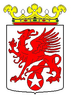
Weststellingwerf
- Weststellingwerf
-
Weststellingwerf est une commune néerlandaise de la Frise.
Lien externe
(nl) Site officiel
Wikimedia Foundation.
2010.
Contenu soumis à la licence CC-BY-SA. Source : Article Weststellingwerf de Wikipédia en français (auteurs)
Regardez d'autres dictionnaires:
Weststellingwerf — Gemeinde Weststellingwerf Flagge Wappen Provinz Friesland Bürgermeister … Deutsch Wikipedia
Weststellingwerf — Infobox Settlement official name = Weststellingwerf mapsize = 280px subdivision type = Country subdivision name = Netherlands subdivision type1 = Province subdivision name1 = Friesland area footnotes = (2006) area total km2 = 228.36 area land km2 … Wikipedia
Gemeente Weststellingwerf — Admin ASC 2 Code Orig. name Gemeente Weststellingwerf Country and Admin Code NL.02.0098 NL … World countries Adminstrative division ASC I-II
Wolvega — Gemeinde Weststellingwerf Flagge Wappen Provinz … Deutsch Wikipedia
Blesdijke — 52°49′49″N 6°0′49″E / 52.83028, 6.01361 … Wikipédia en Français
Boijl — 52°54′35″N 6°11′58″E / 52.90972, 6.19944 … Wikipédia en Français
De Blesse — 52°50′38″N 6°2′25″E / 52.84389, 6.04028 … Wikipédia en Français
De Hoeve — 52°53′13″N 6°5′15″E / 52.88694, 6.0875 … Wikipédia en Français
Langelille — 52°50′33″N 5°50′30″E / 52.8425, 5.84167 … Wikipédia en Français
Munnekeburen — 52°50′55″N 5°53′9″E / 52.84861, 5.88583 … Wikipédia en Français


 Pays-Bas