- Kopet-Dag
-
Kopet-Dag 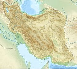
 Kopet-Dag
Localisation du Kopet-Dag en Iran.Géographie Altitude 3 191 m, Kuh-e Qutschān Longueur 650 km Administration Pays  Iran
Iran
 Turkménistan
Provinces iraniennes
Provinces turkmènesKhorasan-e-shomali, Khorasan-e-razavi
Ahal, Balkanmodifier 
Le Kopet-Dag est une chaîne de montagnes d'Asie centrale, qui forme la frontière entre l'Iran au sud et le Turkménistan au nord. Elle s'étend sur près de 650 km à l'est de la mer Caspienne. Le plus haut sommet du Turkménistan est situé au sud-ouest de la capitale, Ashgabat, et s'élève à 2 940 m, alors que le plus haut sommet iranien atteint une altitude de 3 191 m.
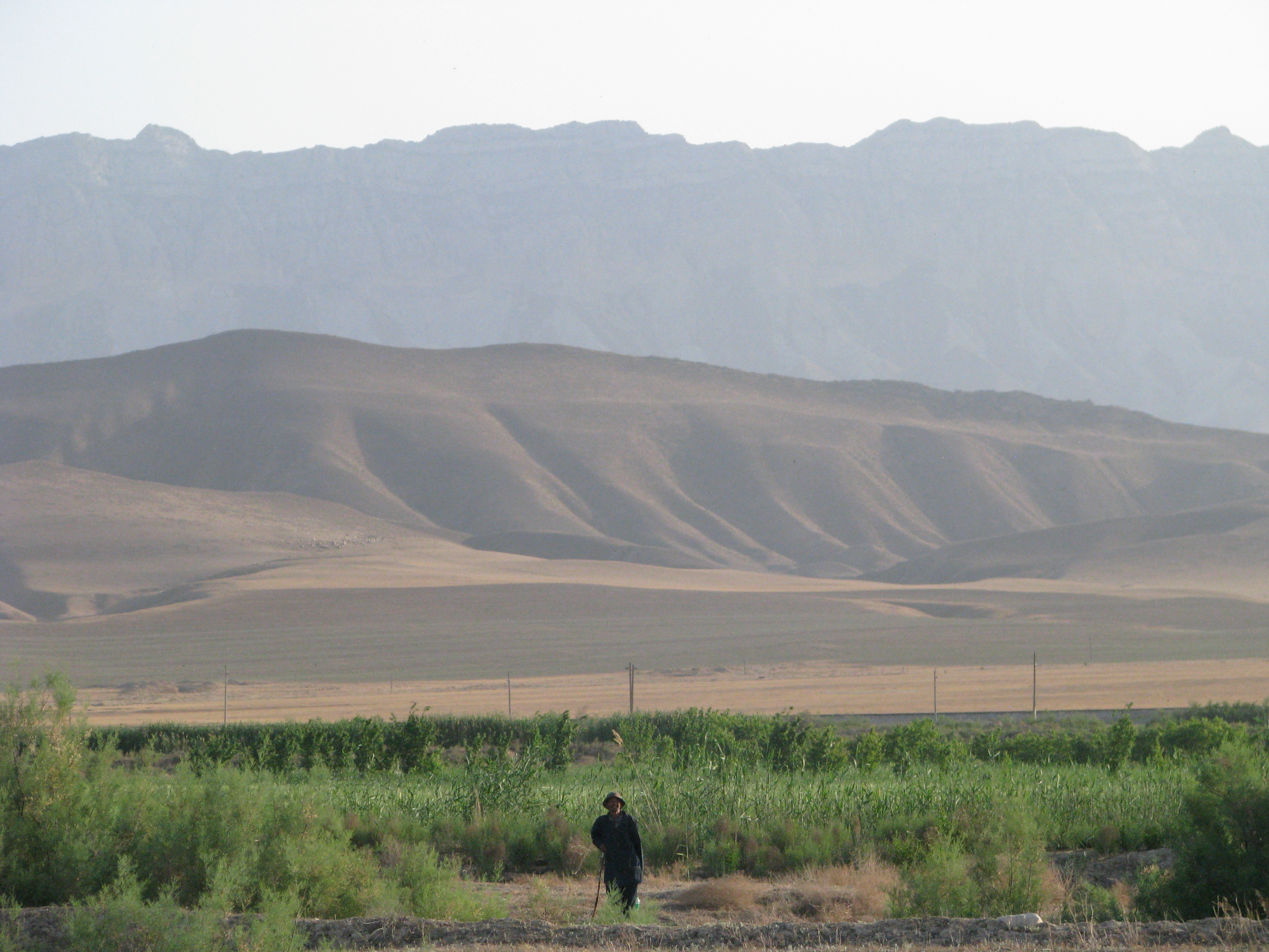
 Le Kopet-Dag depuis la plaine d'Ahal
La région a vu l'émergence de cultures très anciennes : celle de Jeitun, au Néolithique (VIIe millénaire av. J.‑C.), et celle de Namazga-depe (Ve au IIIe millénaire av. J.‑C.). L'ancienne cité parthe de Nisa (ou Nessa) est située sur les contreforts de la chaîne, près d'Achgabat.
Catégories :- Massif de montagne d'Asie
- Montagne du Turkménistan
- Montagne d'Iran

Wikimedia Foundation. 2010.