Jipsingboertange
Contenu soumis à la licence CC-BY-SA. Source : Article Jipsingboertange de Wikipédia en français (auteurs)
Regardez d'autres dictionnaires:
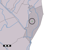
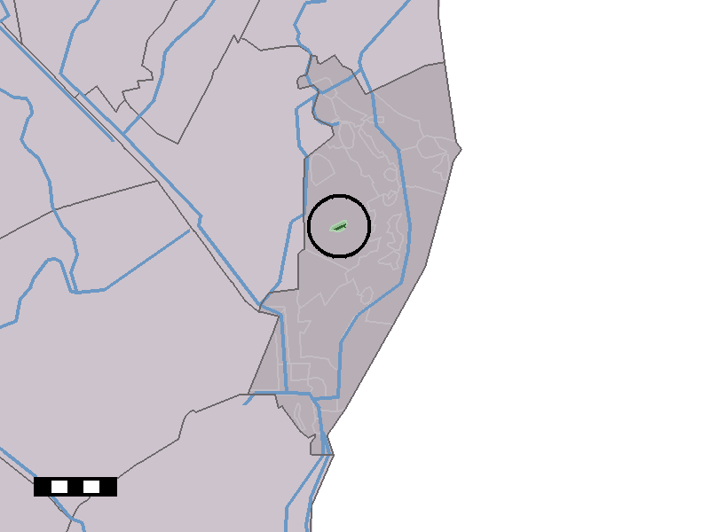
Jipsingboertange — Dutch town locator maps mun town caption = The town centre (dark green) and the statistical district (light green) of Jipsingboertange in the municipality of Vlagtwedde.Jipsingboertange (coord|52|58|N|7|6|E|type:city(123)) is a town in the Dutch… … Wikipedia
Vlagtwedde — Héraldique … Wikipédia en Français
Vlagtwedde — Infobox Settlement official name = Vlagtwedde mapsize = 280px subdivision type = Country subdivision name = Netherlands subdivision type1 = Province subdivision name1 = Groningen area footnotes = (2006) area total km2 = 170.51 area land km2 = 167 … Wikipedia
List of places in the Netherlands — This is an alphabetical list of places (cities, towns, villages) in the Netherlands. Lists per province can be found at:* List of towns in Groningen * List of towns in Friesland * List of towns in Drente * List of towns in Overijssel * List of… … Wikipedia
Agodorp — 52°52′N 7°5′E / 52.867, 7.083 Agodorp … Wikipédia en Français
Barnflair — 52°51′5″N 7°4′54″E / 52.85139, 7.08167 … Wikipédia en Français
Bourtange — 53° 00′ 24″ N 7° 11′ 30″ E / 53.0067, 7.19167 … Wikipédia en Français
Jipsingboermussel — 53°1′34″N 7°6′42″E / 53.02611, 7.11167 … Wikipédia en Français
Jipsinghuizen — 52°58′37″N 7°8′59″E / 52.97694, 7.14972 … Wikipédia en Français
Lauderzwarteveen — 52° 55′ 31″ N 7° 06′ 16″ E / 52.9253, 7.10444 … Wikipédia en Français
 Pays-Bas