Munnekemoer

Munnekemoer

52° 50′ 38″ N 7° 04′ 57″ E / 52.84388889, 7.0825

Munnekemoer
Administration
Pays Drapeau : Pays-Bas Pays-Bas
Province Groningue
Commune Vlagtwedde
Géographie
Population - hab. (-)
Autres informations
Code postal 9561 (Ter Apel)
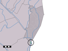
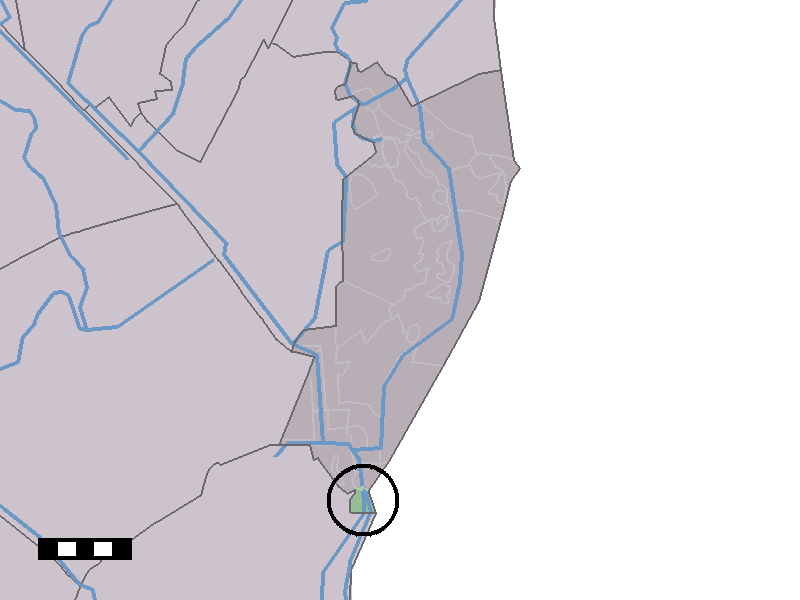
Localisation de Munnekemoer dans la commune de Vlagtwedde

Munnekemoer est un village néerlandais de la province de Groningue, appartenant à la commune de Vlagtwedde.

Munnekemoer est situé au sud de Ter Apel, au nord-ouest d'Emmen, dans la pointe méridionale de la province de Groningue, coincé entre l'Allemagne et Drenthe. Tel un village-rue, le village est situé le long des deux côtés du Ter Apelkanaal.

Son nom signifie le marais des moines ; les moines auxquels est fait référence sont ceux de l'ancien monastère de Ter Apel.


Wikimedia Foundation. 2010.

Contenu soumis à la licence CC-BY-SA. Source : Article Munnekemoer de Wikipédia en français (auteurs)

Игры ⚽ Нужен реферат?

Regardez d'autres dictionnaires:

  • Munnekemoer —   Town   Munnekemoer bij de 8e verlaat …   Wikipedia

  • Vlagtwedde — Héraldique …   Wikipédia en Français

  • Vlagtwedde — Infobox Settlement official name = Vlagtwedde mapsize = 280px subdivision type = Country subdivision name = Netherlands subdivision type1 = Province subdivision name1 = Groningen area footnotes = (2006) area total km2 = 170.51 area land km2 = 167 …   Wikipedia

  • List of places in the Netherlands — This is an alphabetical list of places (cities, towns, villages) in the Netherlands. Lists per province can be found at:* List of towns in Groningen * List of towns in Friesland * List of towns in Drente * List of towns in Overijssel * List of… …   Wikipedia

  • Agodorp — 52°52′N 7°5′E / 52.867, 7.083 Agodorp …   Wikipédia en Français

  • Barnflair — 52°51′5″N 7°4′54″E / 52.85139, 7.08167 …   Wikipédia en Français

  • Bourtange — 53° 00′ 24″ N 7° 11′ 30″ E / 53.0067, 7.19167 …   Wikipédia en Français

  • Jipsingboermussel — 53°1′34″N 7°6′42″E / 53.02611, 7.11167 …   Wikipédia en Français

  • Jipsingboertange — 53°1′34″N 7°6′42″E / 53.02611, 7.11167 …   Wikipédia en Français

  • Jipsinghuizen — 52°58′37″N 7°8′59″E / 52.97694, 7.14972 …   Wikipédia en Français

Share the article and excerpts

Direct link
Do a right-click on the link above
and select “Copy Link”