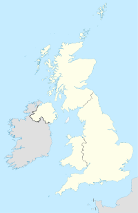
Ellesborough
Contenu soumis à la licence CC-BY-SA. Source : Article Ellesborough de Wikipédia en français (auteurs)
Regardez d'autres dictionnaires:
Ellesborough — Infobox UK place country = England official name= Ellesborough population = 811 [ [http://www.neighbourhood.statistics.gov.uk/dissemination/LeadTableView.do?a=7 b=792149 c=Ellesborough d=16 e=15 g=425250 i=1001x1003x1004 m=0 r=1 s=1216325682351… … Wikipedia
Princes Risborough — Coordinates: 51°43′26″N 0°50′04″W / 51.723978°N 0.834418°W / 51.723978; 0.834418 … Wikipedia
Coombe, Buckinghamshire — Coombe is a hamlet in the parish of Ellesborough in the English county of Buckinghamshire, situated between Coombe Hill and Chequers, the official country residence of the Prime Minister of the United Kingdom. The hamlet is situated on the… … Wikipedia
Monks Risborough — Coordinates: 51°44′04″N 0°49′47″W / 51.734462°N 0.829831°W / 51.734462; 0.829831 … Wikipedia
Chalkshire — is a hamlet in the parish of Ellesborough, in Buckinghamshire, England. It is situated on the road that runs from Butlers Cross to Terrick. The hamlet name is fairly modern, and is quite literal in meaning. It refers to the composition of the… … Wikipedia
Dunsmore, Buckinghamshire — For other uses, see Dunsmore (disambiguation). Coordinates: 51°44′21″N 0°45′10″W / 51.73905°N 0.75275°W / 51.73905; 0.75275 … Wikipedia
Nash Lee — is a hamlet in the parish of Ellesborough, in Buckinghamshire, England. It is located to the north of the village, about two miles west of Wendover. The hamlet name is Anglo Saxon in origin, and means clearing among the ash trees . It was… … Wikipedia
North Lee — is a hamlet in the parish of Ellesborough, in Buckinghamshire, England. It is located in the very north of the parish, near the main road that links Aylesbury with Wendover. The hamlet name is a compound of English and Anglo Saxon languages, and… … Wikipedia
Buckinghamshire — For other uses, see Buckinghamshire (disambiguation). Buckinghamshire Flag of Buckinghamshire County Council … Wikipedia
High Wycombe — This article is about the town in the United Kingdom. For the suburb of Perth, see High Wycombe, Western Australia. Coordinates: 51°37′43″N 0°44′54″W / 51.628661°N 0.748238 … Wikipedia
 Angleterre


