Dromore, County Down
- Dromore, County Down
-
Dromore, County Down
Dromore (Droim Mór - en irlandais) est une ville d'environ 5000 habitants dans la vallée de Lagan, dans le comté de Down en Irlande du Nord.
À visiter
- le Motte et Bailey, un fort ancien datant de la Conquête Normande.
- "Priest's Mount", un fort ancien, construit il y a 2 000 ans.
Évêché
- Diocèse de Dromore
- Cathédrale de Dromore
 Portail de l’Irlande
 Portail du Royaume-Uni
Catégorie : Ville du Comté de Down
Wikimedia Foundation.
2010.
Contenu soumis à la licence CC-BY-SA. Source : Article Dromore, County Down de Wikipédia en français (auteurs)
Regardez d'autres dictionnaires:
Dromore, County Down — Not to be confused with Dromore, County Tyrone. Coordinates: 54°24′54″N 6°08′56″W / 54.415°N 6.149°W / 54.415; 6.149 … Wikipedia
Dromore, County Tyrone — Not to be confused with Dromore, County Down. Coordinates: 54°30′48″N 7°27′32″W / 54.513309°N 7.458858°W / 54.51 … Wikipedia
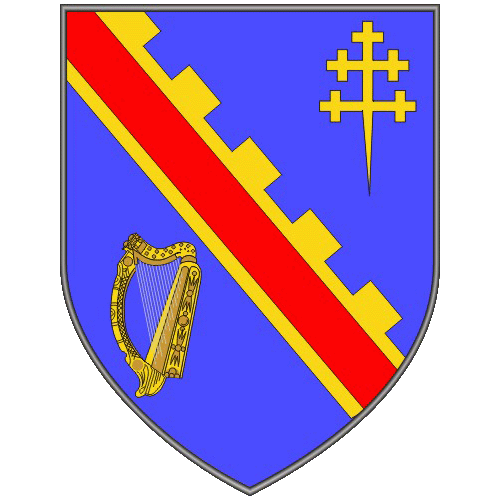
County Down — Contae an Dúin Coontie Doon / Countie Doun Coat of arms … Wikipedia
County Down — Contae an Dúin Karte Basisdaten Staat: Vereinigtes Königreich Verwaltungssitz: Downpatrick … Deutsch Wikipedia
County Down Spectator — The County Down Spectator and Ulster Standard is a weekly newspaper based in Bangor, County Down, Northern Ireland. It generally serves the area covered by the North Down parliamentary constituency. it is published by Spectator Newspapers and has … Wikipedia
Hillsborough, County Down — Infobox Irish Place name = Hillsborough crest motto = map pin coords = north coord = 54.462 west coord = 6.083 area = ? km² province = Ulster county = County Down NI district = Lisburn UK constituency = Lagan Valley EU constituency = Northern… … Wikipedia
Newcastle, County Down — Coordinates: 54°12′36″N 5°52′55″W / 54.21°N 5.882°W / 54.21; 5.882 … Wikipedia
Dundrum, County Down — For other places with the same name, see Dundrum (disambiguation). Coordinates: 54°15′N 5°51′W / 54.25°N 5.85°W / 54.25; 5.85 … Wikipedia
Moira, County Down — Coordinates: 54°28′48″N 6°13′55″W / 54.480°N 6.232°W / 54.480; 6.232 … Wikipedia
County Down — Comté de Down Pour les articles homonymes, voir Down. Comté de Down Contae An Dúin [[Image: |175px|Drapeau de Comté de Down]] … Wikipédia en Français

 Royaume-Uni
 Irlande du Nord