Zádiel
- Zádiel
-
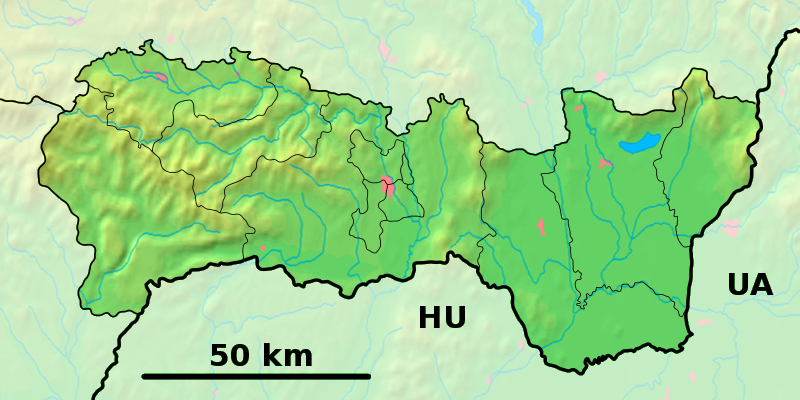
Zádiel est un village de Slovaquie situé dans la région de Košice.
Géographie
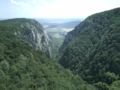
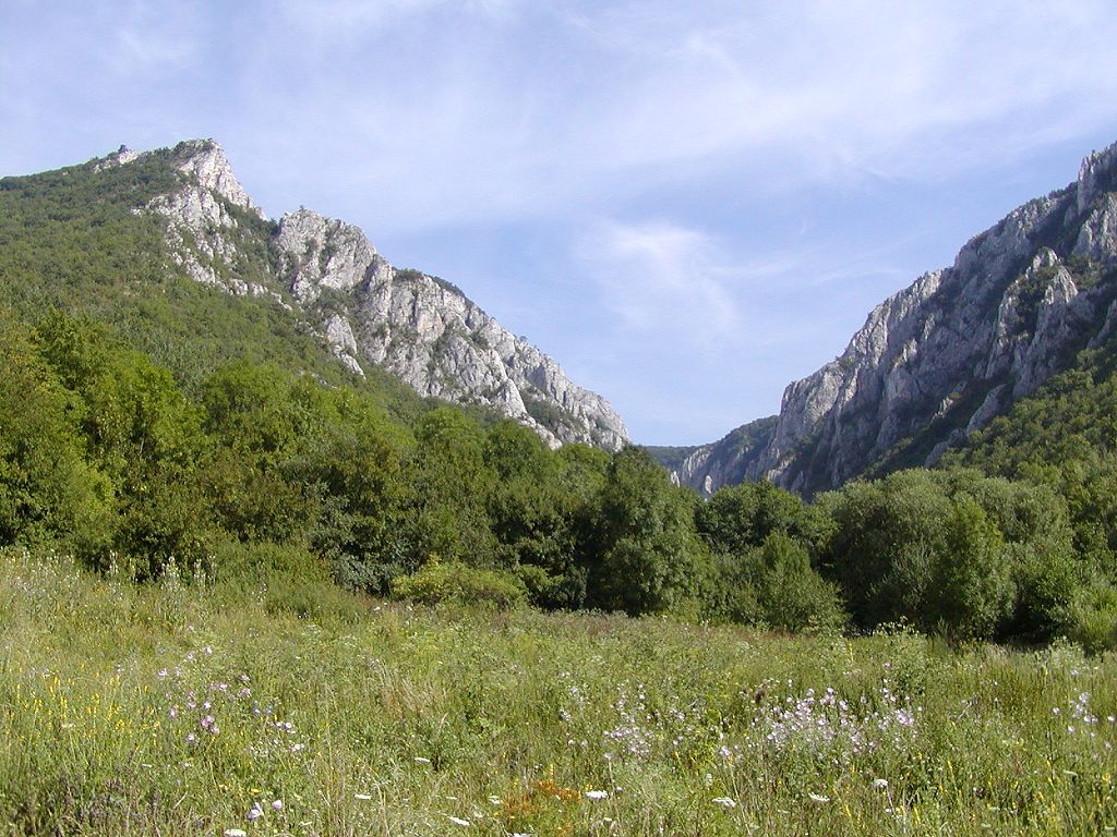
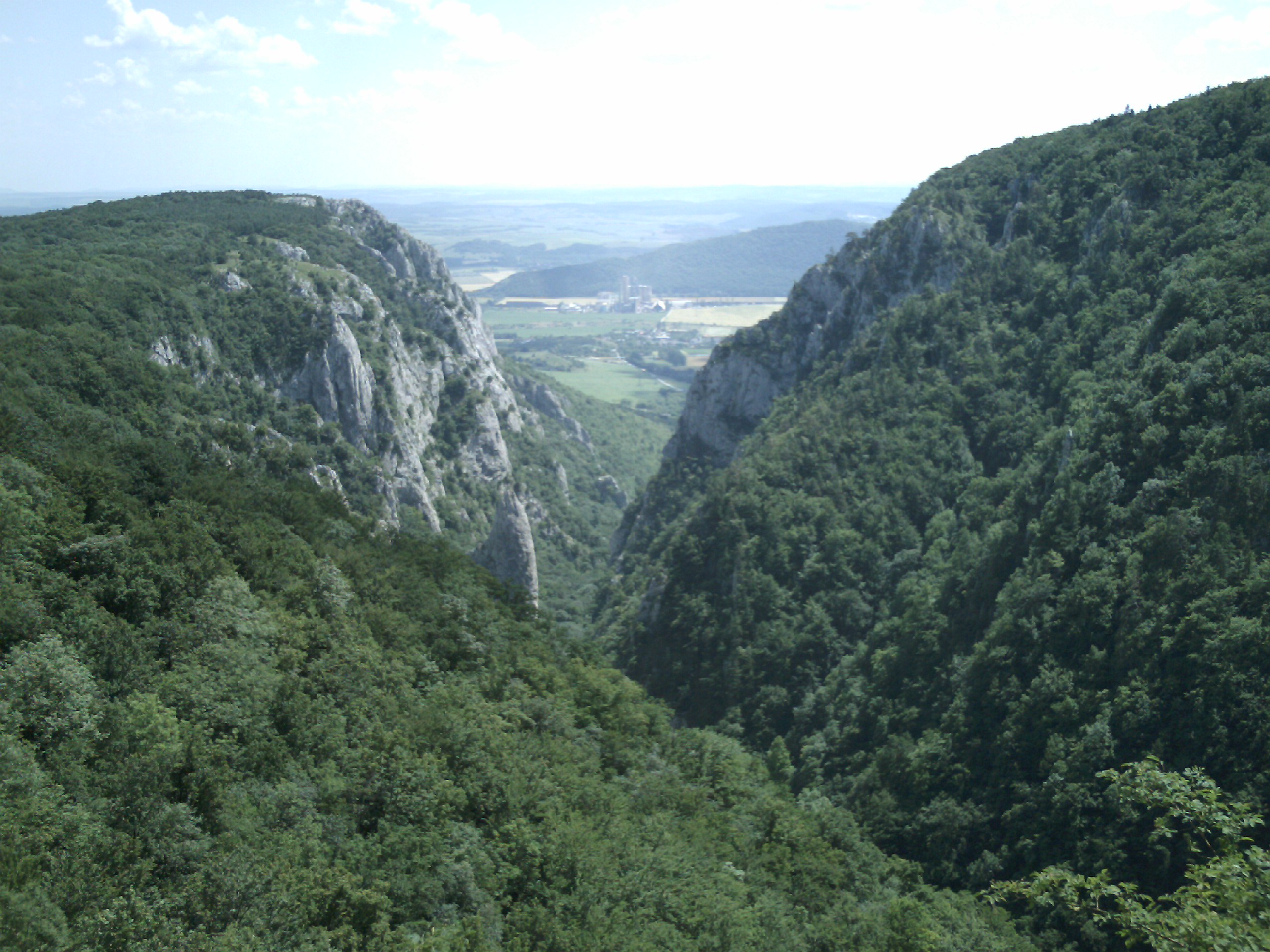
Le village de Zadiel se trouve à proximité d'une vallée encaissée appelée Canyon de Zadiel. C'est une destination privilégiée pour les randonnées.
Histoire
La première mention écrite du village date de 1317.
La localité fut annexée par la Hongrie après le premier arbitrage de Vienne le 2 novembre 1938. En 1938, on comptait 236 habitants. Elle faisait partie du district de Turňa nad Bodvou (hongrois : Tornai járás). Le nom de la localité avant la Seconde Guerre mondiale était Zádiel/Szádelő. Durant la période 1938 - 1945, le nom hongrois Szádelő était d'usage[3]. À la libération, la commune a été réintégrée dans la Tchécoslovaquie reconstituée.
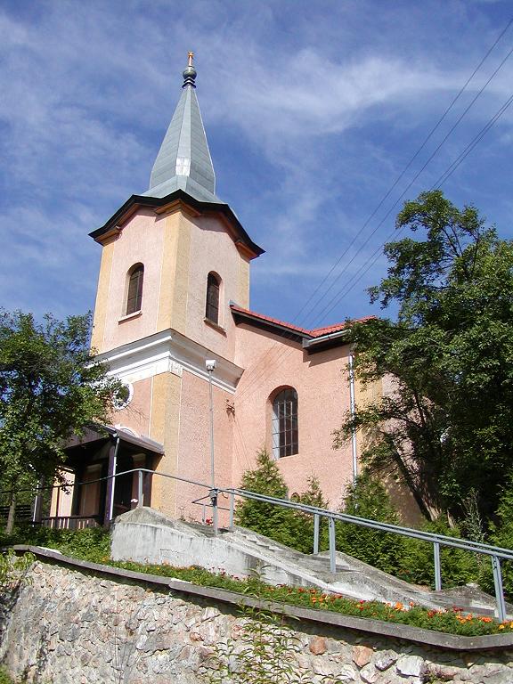
Galerie
 |
Cliquez sur une vignette pour l’agrandir |
Notes et références
Catégories : - Village de Slovaquie
- Village et ville du district de Košice-okolie
Wikimedia Foundation.
2010.
Contenu soumis à la licence CC-BY-SA. Source : Article Zádiel de Wikipédia en français (auteurs)
Regardez d'autres dictionnaires:
Zádiel — Wappen Karte … Deutsch Wikipedia
Zádiel — is a village and municipality in Košice okolie District in the Kosice Region of eastern Slovakia.HistoryIn historical records the village was first mentioned in 1317.GeographyThe village lies at an elevation of 245 metres and covers an area of… … Wikipedia
Josef Václav Frič — Josef Václav Fric (alias M. Brodský ) (August 5 1829 in Prague; † October 14 1890) was a Czech writer, journalist, politician, and a foremost representative of Romanticism.He was son of a the lawyer and patriot Josef František Frič. Already with… … Wikipedia
Liste der Städte und Gemeinden in der Slowakei/S-Ž — Übersicht S bis Ž Teil 1 A bis G Teil 2 H bis Ľ Teil 3 M bis R Teil 4 S bis Ž Übersicht S Š T Ť U V Z Ž S … Deutsch Wikipedia
Liste der Städte und Gemeinden in der Slowakei Teil 4 — Übersicht S bis Ž Teil 1 A bis G Teil 2 H bis Ľ Teil 3 M bis R Teil 4 S bis Ž Übersicht S Š T Ť U V Z Ž S … Deutsch Wikipedia
District de Košice-Okolie — 48°43′N 21°15′E / 48.717, 21.25 … Wikipédia en Français
Köçek — The köçek phenomenon (plural köçekler in Turkish) is one of the significant features of Ottoman Empire culture Fact|date=August 2008. The köçek was typically a very handsome young male rakkas, dancer, usually cross dressed in feminine attire,… … Wikipedia
Košice Region — Geobox | Region name = Košice other name = category = Region image caption = image caption = symbol = symbol type = Coat of arms etymology = official name = motto = nickname = country = Slovakia country state = region = district = commune =… … Wikipedia
Košice-okolie District — Košice–okolie District District Country Slovakia … Wikipedia
List of municipalities and towns in Slovakia — Slovakia This is a comprehensive list of municipalities and towns in Slovakia. For lists of towns and municipalities sorted by Regions see the individual articles on Regions. For an outdated list of towns only in Slovakia see also List of towns… … Wikipedia
 Slovaquie
 Zádiel