Bajerov
- Bajerov
-
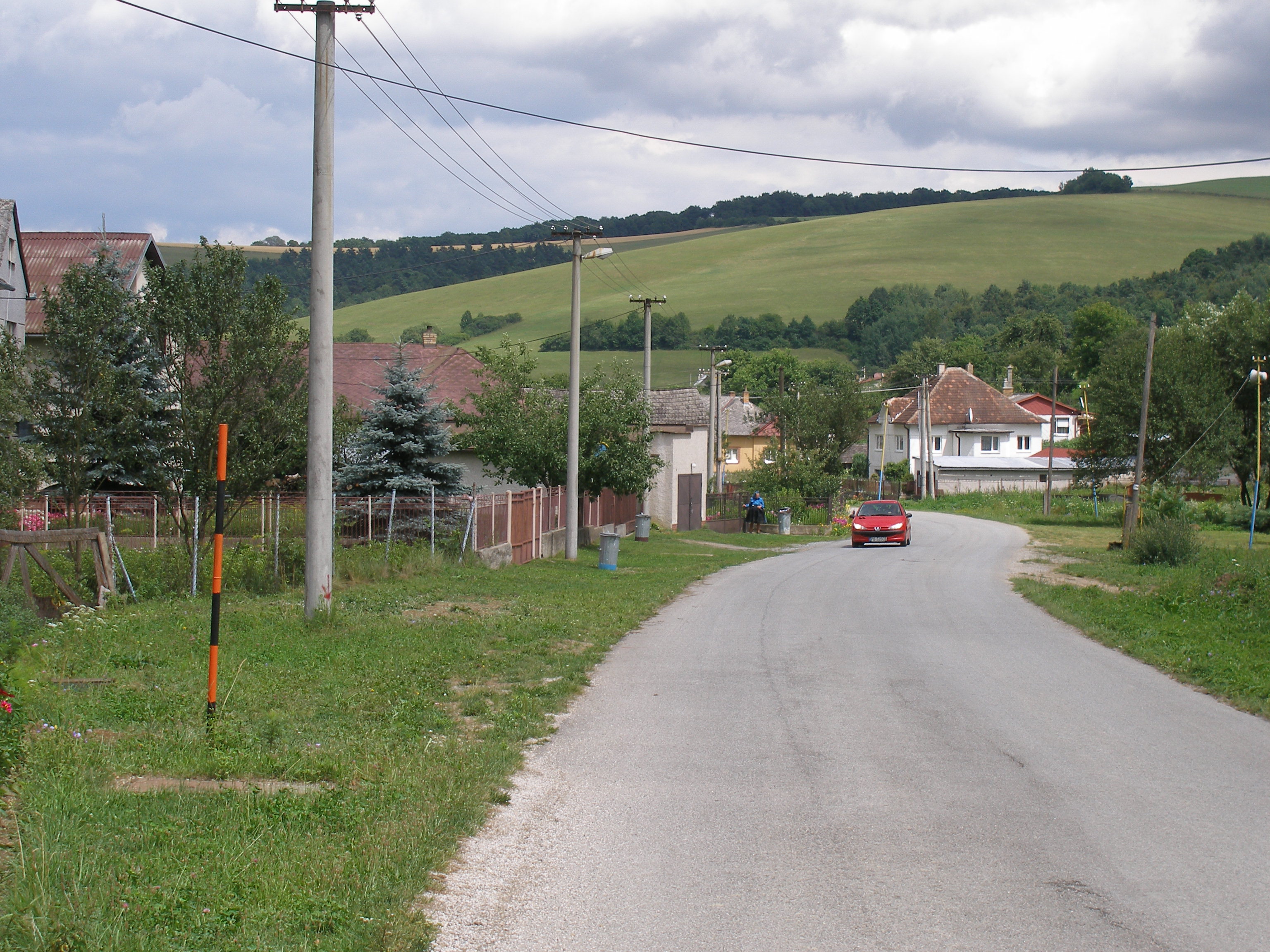
Bajerov (allemand : Bayersdorf ,hongrois : Bajor) est un village de Slovaquie situé dans la région de Prešov.
Histoire
Première mention écrite du village en 1332.
Notes et références
Catégories : - Village de Slovaquie
- Village et ville du district de Prešov
Wikimedia Foundation.
2010.
Contenu soumis à la licence CC-BY-SA. Source : Article Bajerov de Wikipédia en français (auteurs)
Regardez d'autres dictionnaires:
Bajerov — Geobox | Settlement name = Bajerov other name = category = Village image caption = Church in Bajerov symbol = etymology = official name = motto = nickname = country = Slovakia country state = region = Prešov district = Prešov commune =… … Wikipedia
Brežany — (Village) Panorama du village Administration … Wikipédia en Français
Žipov — (Village) Héraldique … Wikipédia en Français
Prešov Region — Geobox | Region name = Prešov category = Region image caption = image caption = symbol = symbol type = etymology = official name = motto = nickname = country = Slovakia country state = region = district = commune = municipality = border = part… … Wikipedia
Prešov District — District Country Slovakia Re … Wikipedia
List of German exonyms for places in the Czech Republic — Below are links to subpages with more detailed listings of the German language names of towns and villages in different regions of the Czech Republic. Many of these German names are now exonyms, but used to be endonyms commonly used by the local… … Wikipedia
Veľký Šariš — Coordinates: 49°02′18″N 21°11′30″E / 49.03833°N 21.19167°E / 49.03833; 21.19167 … Wikipedia
List of municipalities and towns in Slovakia — Slovakia This is a comprehensive list of municipalities and towns in Slovakia. For lists of towns and municipalities sorted by Regions see the individual articles on Regions. For an outdated list of towns only in Slovakia see also List of towns… … Wikipedia
Cemeteries of Villages in Eastern Slovakia — *List of cemeteriesGrave stones older than 50 yearsBačkovvillage cemeterySurnames: Polaček, Lorinc, Karaffa, Kordiak, Dobranský, Kontír, Stichl, Palkovič, Štrobl, Stroka, Rudlai, Balint, Onufer, Ujhelyi, Heincz, Tkačík, Hartwig, Malcher, Németh,… … Wikipedia
Červenica — Location of Prešov District in the Prešov Region. Červenica (Hungarian: Vörösvágás) is a village and municipality in Prešov District in the Prešov Region of eastern Slovakia … Wikipedia

 Slovaquie
 Bajerov