- Podhorany (district Prešov)
-
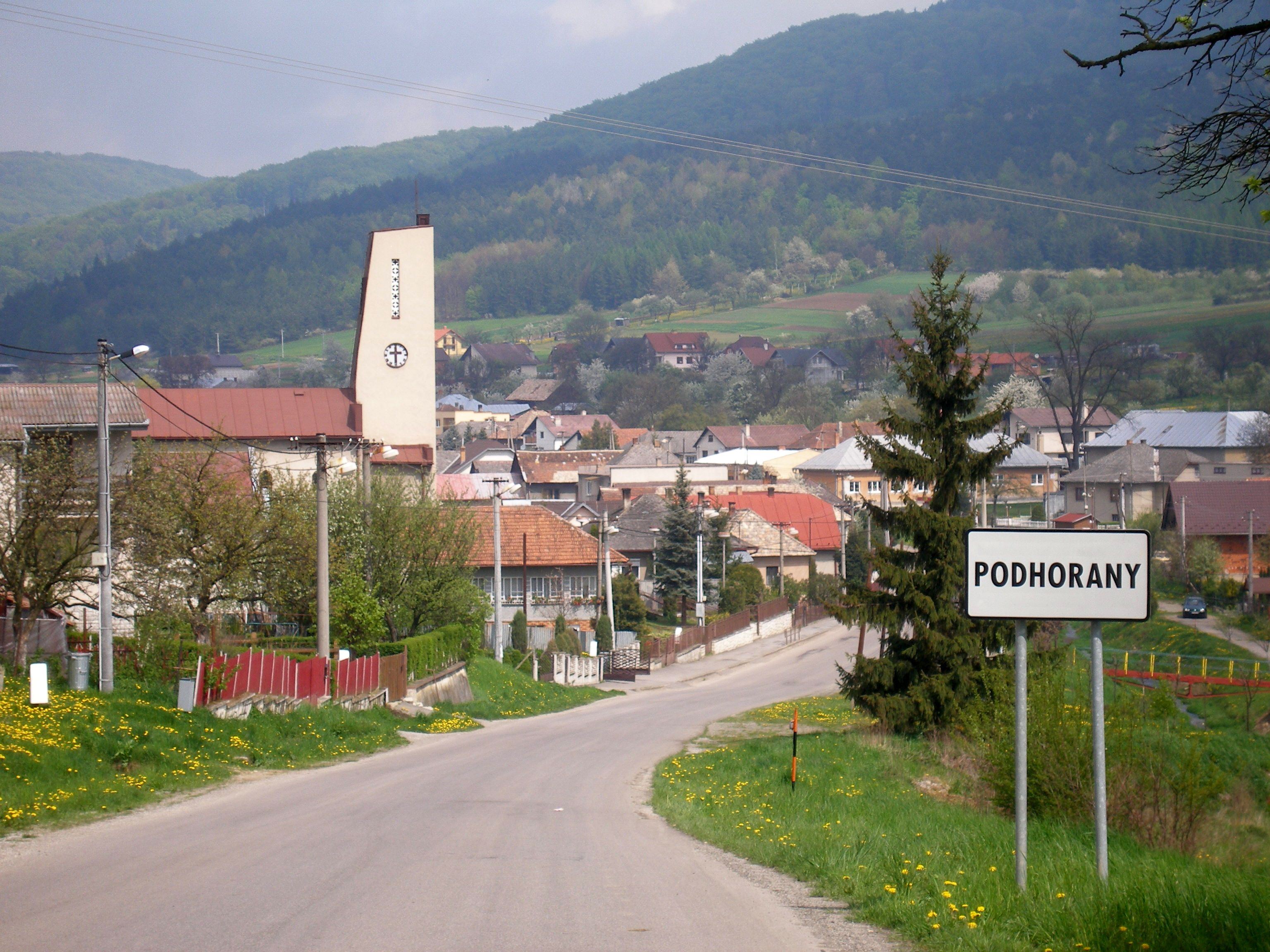
Podhorany
(Village)
Administration Pays  Slovaquie
Région Région de Prešov District District de Prešov Code postal 082 14 Plaque minéralogique PO Starosta (maire) Richard Bechera ( SDKÚ-DS,KDH )
Mandat: 2013
Démographie Population 695 hab. (31.12.2007) Densité 97,7 hab./km2 Géographie Coordonnées Altitude 333 m Superficie 711,6 ha = 7,116 km² Localisation en Slovaquie 
 Podhorany
 Podhorany
Localisation dans la région de Prešov Sources Resultat des élections http://www.e-obce.sk [1] http://www.statistics.sk [2] Podhorany est un village de Slovaquie situé dans la région de Prešov.
Histoire
Première mention écrite du village en 1283.
Notes et références
Catégories :- Village de Slovaquie
- Village et ville du district de Prešov


Wikimedia Foundation. 2010.