Župčany
- Župčany
-
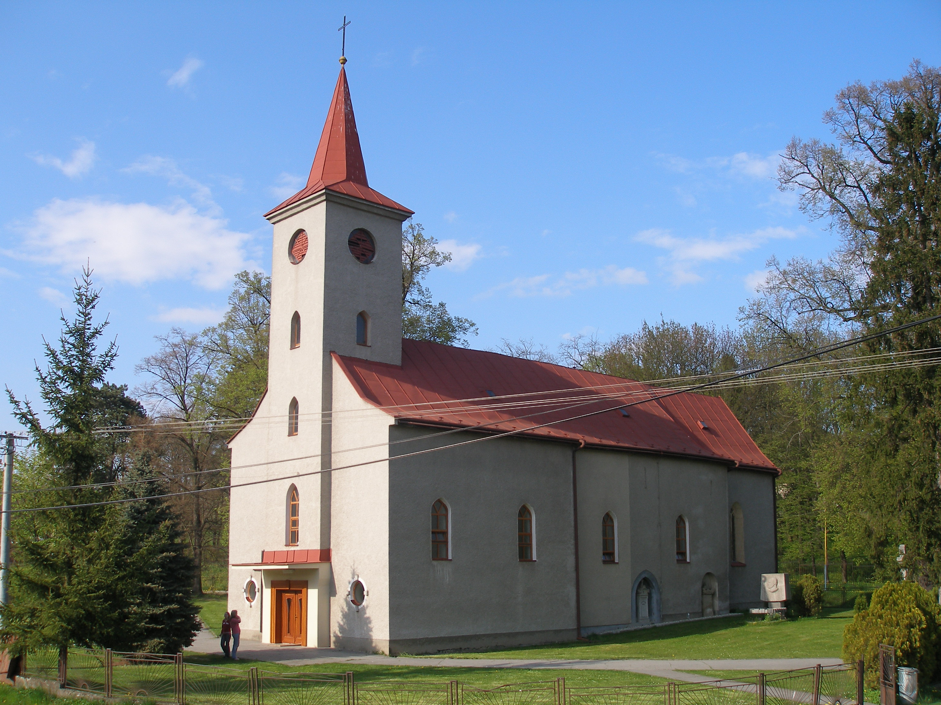
Župčany est un village de Slovaquie situé dans la région de Prešov.
Histoire
Première mention écrite du village en 1248.
Notes et références
Catégories :
- Village de Slovaquie
- Village et ville du district de Prešov
Wikimedia Foundation.
2010.
Contenu soumis à la licence CC-BY-SA. Source : Article Župčany de Wikipédia en français (auteurs)
Regardez d'autres dictionnaires:
Župčany — is a village and municipality in Prešov District in the Prešov Region of eastern Slovakia.HistoryIn historical records the village was first mentioned in 1248.GeographyThe municipality lies at an altitude of 322 metres and covers an area of 8.493 … Wikipedia
Jonáš Záborský — (February 3 1812 in Záborie – January 23 1876 in Župčany) was a Slovak lower nobleman and writer. He was an author of tales, epigrams, allegorical philosophical poems, satirical poems, historical dramas, comedies and stories.His notable works… … Wikipedia
Prešov Region — Geobox | Region name = Prešov category = Region image caption = image caption = symbol = symbol type = etymology = official name = motto = nickname = country = Slovakia country state = region = district = commune = municipality = border = part… … Wikipedia
Prešov District — District Country Slovakia Re … Wikipedia
Veľký Šariš — Coordinates: 49°02′18″N 21°11′30″E / 49.03833°N 21.19167°E / 49.03833; 21.19167 … Wikipedia
List of municipalities and towns in Slovakia — Slovakia This is a comprehensive list of municipalities and towns in Slovakia. For lists of towns and municipalities sorted by Regions see the individual articles on Regions. For an outdated list of towns only in Slovakia see also List of towns… … Wikipedia
Červenica — Location of Prešov District in the Prešov Region. Červenica (Hungarian: Vörösvágás) is a village and municipality in Prešov District in the Prešov Region of eastern Slovakia … Wikipedia
Demjata — Location of Prešov District in the Prešov Region. Demjata (Hungarian: Deméte) is a village and municipality in Prešov District in the Prešov Region of eastern Slovakia. History In … Wikipedia
Drienov — Location of Prešov District in the Prešov Region. Drienov (Hungarian: Somos) is a village and municipality in Prešov District in the Prešov Region of eastern Slovakia. History In … Wikipedia
Drienovská Nová Ves — Location of Prešov District in the Prešov Region. Drienovská Nová Ves (Hungarian: Somosújfalu) is a village and municipality in Prešov District in the Prešov Region of eastern Slovakia. History … Wikipedia

 Slovaquie
 Župčany