Wichelen
- Wichelen
-
| Wichelen |
|
|
|
|
|
| Géographie |
| Pays |
 Belgique Belgique |
| Région |
 Région flamande Région flamande |
| Communauté |
Communauté flamande |
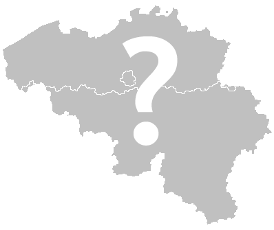
| Province |
 Province de Flandre-Orientale Province de Flandre-Orientale |
| Arrondissement |
Termonde |
| Coordonnées |
51° 00′ 00″ N 3° 58′ 00″ E / 51, 3.966666666666751° 00′ 00″ Nord
3° 58′ 00″ Est / 51, 3.9666666666667 |
Superficie
– Surface agricole
– Bois
– Terrains bâtis
– Divers |
22,87 km² (2005)
65,87 %
5,58 %
26,47 %
2,09 % |
| Données sociologiques |
Population
– Hommes
– Femmes
Densité |
11 063 (1er janvier 2008)
49,22 %
50,78 %
484 hab./km² |
Pyramide des âges
– 0–17 ans
– 18–64 ans
– 65 ans et + |
(1er janvier 2008)
19,39 %
63,66 %
16,95 % |
| Étrangers |
1,25 % (1er janvier 2008) |
| Économie |
| Taux de chômage |
5,30 % (janvier 2009) |
| Revenu annuel moyen |
14 793 €/hab. (2005) |
| Politique |
| Bourgmestre |
Werner Van der Eecken (CD&V) |
| Majorité |
CD&V, VLD |
Sièges
CD&V
VLD
sp.a
Vlaams Belang
Indépendant |
21
14
4
1
1
1 |
| Sections de commune |
| Section |
Code postal |
Wichelen
Schellebelle
Serskamp |
9260
9260
9260 |
| Autres informations |
| Gentilé |
(inconnu) |
| Zone téléphonique |
09 |
| Code INS |
42026 |
| Site officiel |
www.wichelen.be |
modifier  |
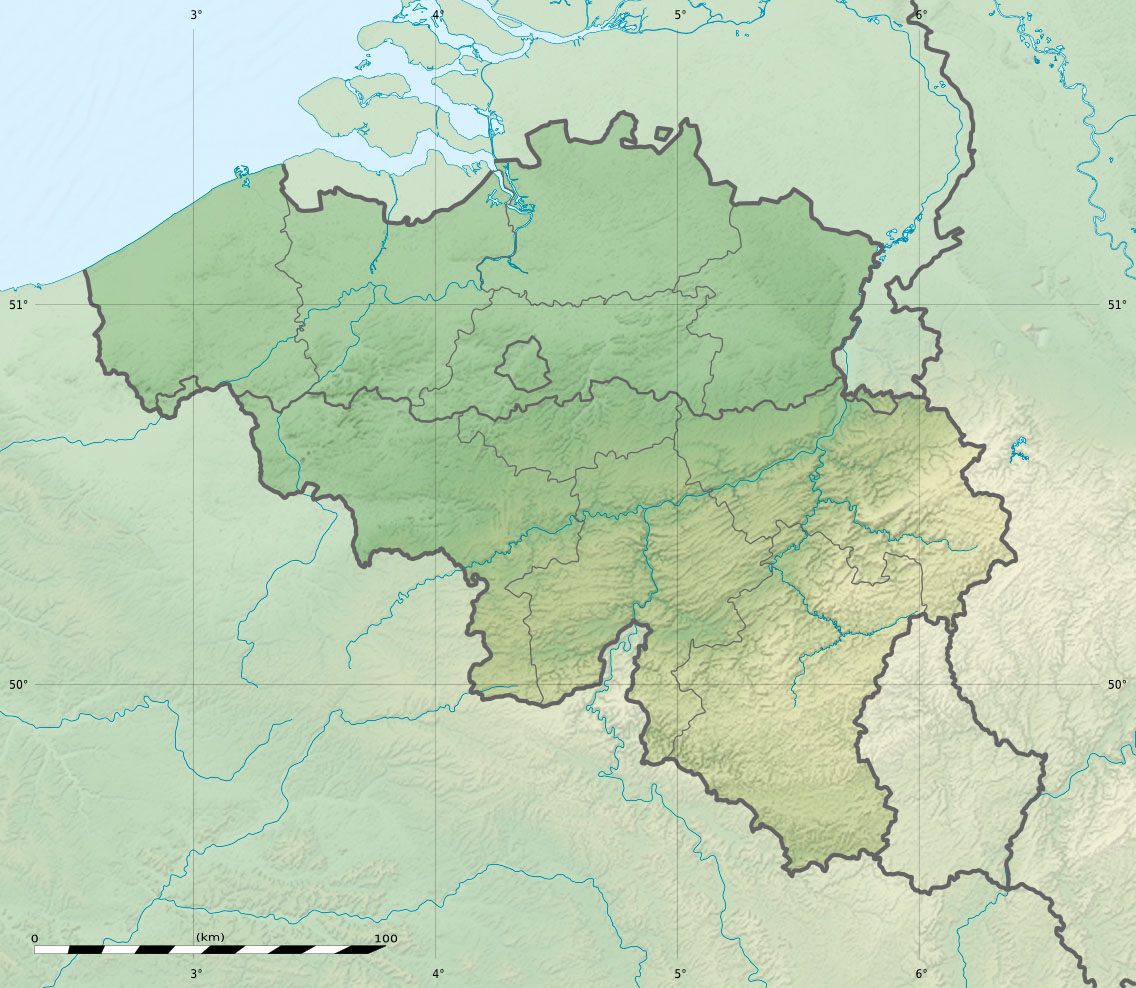
Wichelen est une commune néerlandophone de Belgique dans le Denderstreek située en Région flamande, dans la province de Flandre-Orientale.
Catégorie :
- Commune de la province de Flandre-Orientale
Wikimedia Foundation.
2010.
Contenu soumis à la licence CC-BY-SA. Source : Article Wichelen de Wikipédia en français (auteurs)
Regardez d'autres dictionnaires:
Wichelen — Wichelen … Deutsch Wikipedia
Wichelen — Wichelen, Dorf an der Schelde, im Arrondissement Dendermonde der belgischen Provinz Ostflandern; 3847 Ew … Pierer's Universal-Lexikon
Wichelen — Infobox Belgium Municipality name=Wichelen picture= picture width=260px picture map Wichelen in East Flanders arms=Wichelen wapen.gif region=BE REG FLE community=BE NL province=BE PROV OV arrondissement=Dendermonde nis=42026 pyramid… … Wikipedia
Wichelen — Original name in latin Wichelen Name in other language Wichelen State code BE Continent/City Europe/Brussels longitude 51.00526 latitude 3.97683 altitude 8 Population 11014 Date 2012 01 18 … Cities with a population over 1000 database
Wichelen — Sp Vichelenas Ap Wichelen flamandiškai (olandų k. tarme) L Belgija … Pasaulio vietovardžiai. Internetinė duomenų bazė
Dendermonde — Dendermonde … Deutsch Wikipedia
Denderstreek — Localisation of the Denderstreek in Flanders Country Belgium Region … Wikipedia
Denderstreek — Staat Belgien Region Flandern Provinz Ostflandern … Deutsch Wikipedia
Denderstreek — Localisation dans Flandre Le Denderstreek ou Denderland est une région naturelle de Flandre Orientale. Géographie … Wikipédia en Français
Witch (etymology) — The etymology of the word witch traces back to the Old English language with the German and Indo European languages as possible older sources. Germanic etymologyThe word witch derives from the Old English nouns IPA|/ˈwitʧɑ/ (masc.) sorcerer,… … Wikipedia