Takapoto
- Takapoto
-
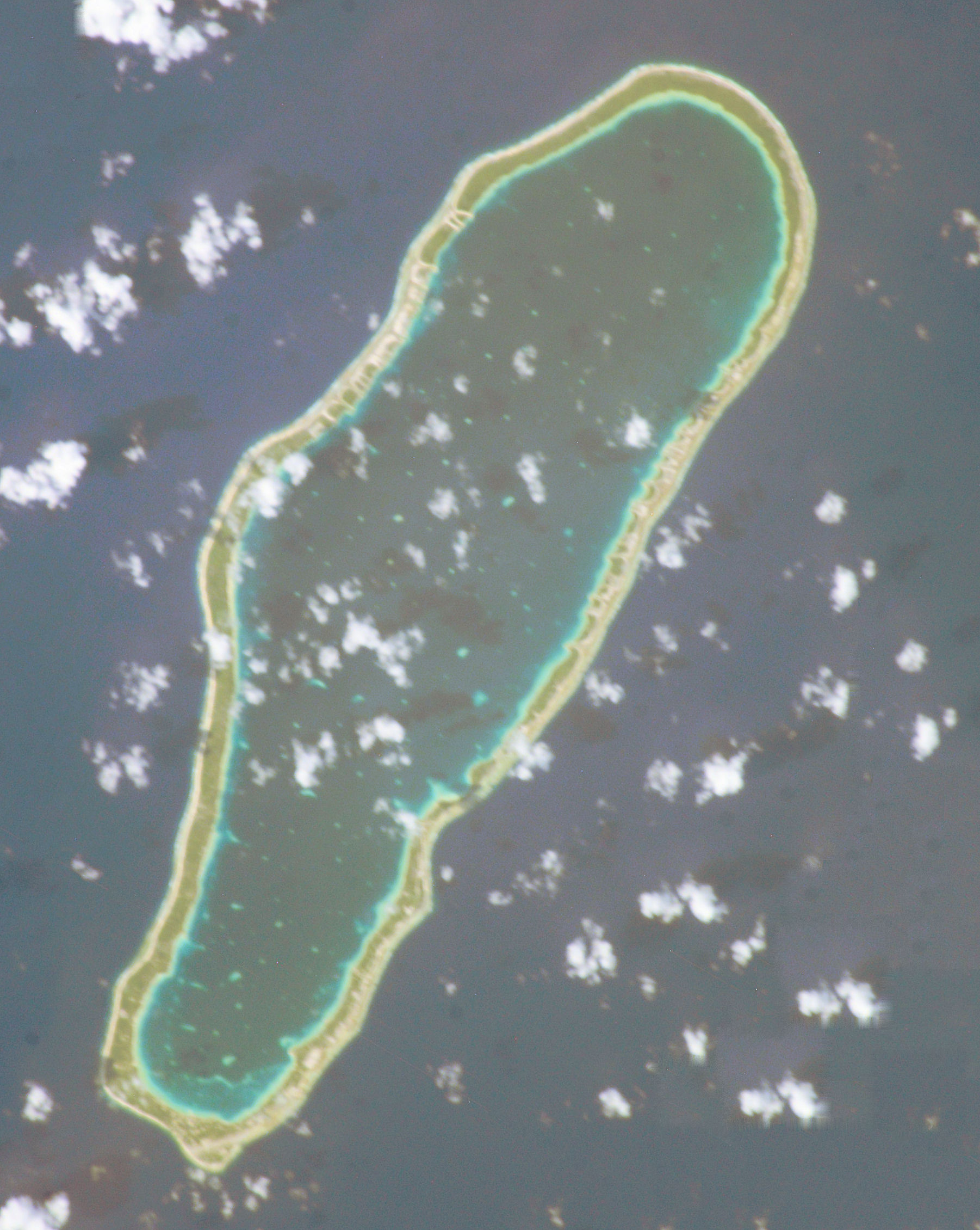
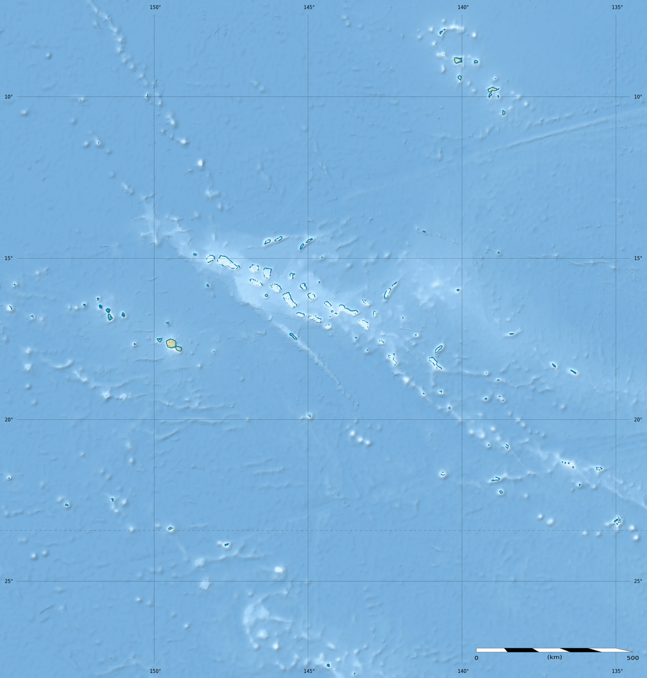
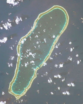
Takapoto est un atoll situé dans l'archipel des Tuamotu en Polynésie française dans le sous-groupe des Îles du Roi Georges. Celui-ci fait partie de la commune de Takaroa.
Géographie
Cette section est vide, insuffisamment détaillée ou incomplète.
Votre aide est la bienvenue !
L'atoll est de forme ovale de 20 km de longueur et 6,7 km de largeur maximales pour une superficie de terres émergées de 15 km2. Son lagon couvre une superficie de 85 km².
Histoire
Cette section est vide, insuffisamment détaillée ou incomplète.
Votre aide est la bienvenue !
La première mention attestée de l'atoll est faite par les explorateurs hollandais Willem Schouten et Jacob Le Maire en 1616[1].
Notes et références
Wikimedia Foundation.
2010.
Contenu soumis à la licence CC-BY-SA. Source : Article Takapoto de Wikipédia en français (auteurs)
Regardez d'autres dictionnaires:
Takapoto — Takapoto, Tua poto or Oura, is an atoll in the Tuamotu group in French Polynesia. Length 17 Km, width 6.4 Km. Latitude 14° 42 ; Longitude S 145° 15 W.The nearest land is Takaroa Atoll, located 10 Km to the Northeast.Takapoto s lagoon has a high… … Wikipedia
Takapoto — Vorlage:Infobox Insel/Wartung/Höhe fehlt Takapoto NASA Bild Takapoto Gewässer Pazifischer Ozean Archipel … Deutsch Wikipedia
Takapoto Airport — is an airport on Takapoto in French Polynesia (IATA: TKP, ICAO: NTGT). The airport is south of the village of Fakatopatere. Airlines and destinations Air Tahiti (Tahiti, Takaroa) External links NTGT – TAKAPOTO (PDF). AIP from French… … Wikipedia
Takaroa — Vorlage:Infobox Insel/Wartung/Höhe fehlt Takaroa NASA Bild von Takaroa Gewässer Pazifischer Ozean Archipel … Deutsch Wikipedia
Islas del Rey Jorge — Las islas del Rei Jorge (en francés, îles du Roi Georges) son tres atolones de las Tuamotu en la Polinesia Francesa. Están situados al norte del archipiélago, en el camino de Tahití en las Islas Marquesas. Administrativamente, los tres atolones… … Wikipedia Español
Tikei — … Wikipedia
Tuamotu-Archipel — Übersichtskarte Tuamotu Archipel Gewässer Pazifischer Ozean … Deutsch Wikipedia
Takaroa — Takaroa, Taka roa or Takapua, is an atoll in the Tuamotu group in French Polynesia. Length 27.4 Km, width 7 Km. Latitude 14° 27 ; Longitude S 144° 59 W.The nearest land is Takapoto Atoll, located 10 Km to the Southwest.Fine pearls, including… … Wikipedia
King George Islands — The King George Islands (Iles du Roi Georges) is a subgroup of the Tuamotu group in French Polynesia. Latitude 14° 32 S; Longitude 145° 08 W.The King George Islands include four atolls and one island: * Ahe * Manihi * Takapoto * Takaroa * Tikei… … Wikipedia
Romanzowinsel — Tikei NASA Bild von Tikei Gewässer Pazifischer Ozean Archipel … Deutsch Wikipedia
 France
 Takapoto