Olst-wijhe
- Olst-wijhe
-
Olst-Wijhe
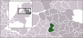
Olst-Wijhe est une commune néerlandaise, en province d'Overijssel.
Lien externe
(nl) Site officiel
 Portail des Pays-Bas
Catégories : Olst-Wijhe | Commune d'Overijssel
Wikimedia Foundation.
2010.
Contenu soumis à la licence CC-BY-SA. Source : Article Olst-wijhe de Wikipédia en français (auteurs)
Regardez d'autres dictionnaires:
Olst-Wijhe — Municipality … Wikipedia
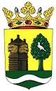
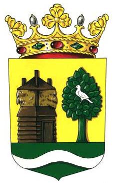
Olst-Wijhe — Héraldique … Wikipédia en Français
Olst-Wijhe — Gemeinde Olst Wijhe Flagge Wappen Provinz Overijssel Bürgermeister … Deutsch Wikipedia
Marle (Olst-Wijhe) — Pour les articles homonymes, voir Marle (homonymie). 52°24′49″N 6°7′37″E / … Wikipédia en Français
Welsum (Olst-Wijhe) — 52°20′14″N 6°5′30″E / 52.33722, 6.09167 … Wikipédia en Français
Gemeente Olst-Wijhe — Admin ASC 2 Code Orig. name Gemeente Olst Wijhe Country and Admin Code NL.15.1773 NL … World countries Adminstrative division ASC I-II
Olst — Coat of arms Coordinates … Wikipedia
Olst railway station — Olst Station statistics Coordinates 52°20′06″N … Wikipedia
Wijhe — is a village in the Dutch province of Overijssel. It is located in the municipality of Olst Wijhe, about 12 km south of Zwolle on the banks of the river IJssel.Wijhe was a separate municipality until 2001, when it merged with Olst. [Ad van der… … Wikipedia
Olst — 52°20′16″N 6°6′39″E / 52.33778, 6.11083 … Wikipédia en Français