- Ddmashen
-
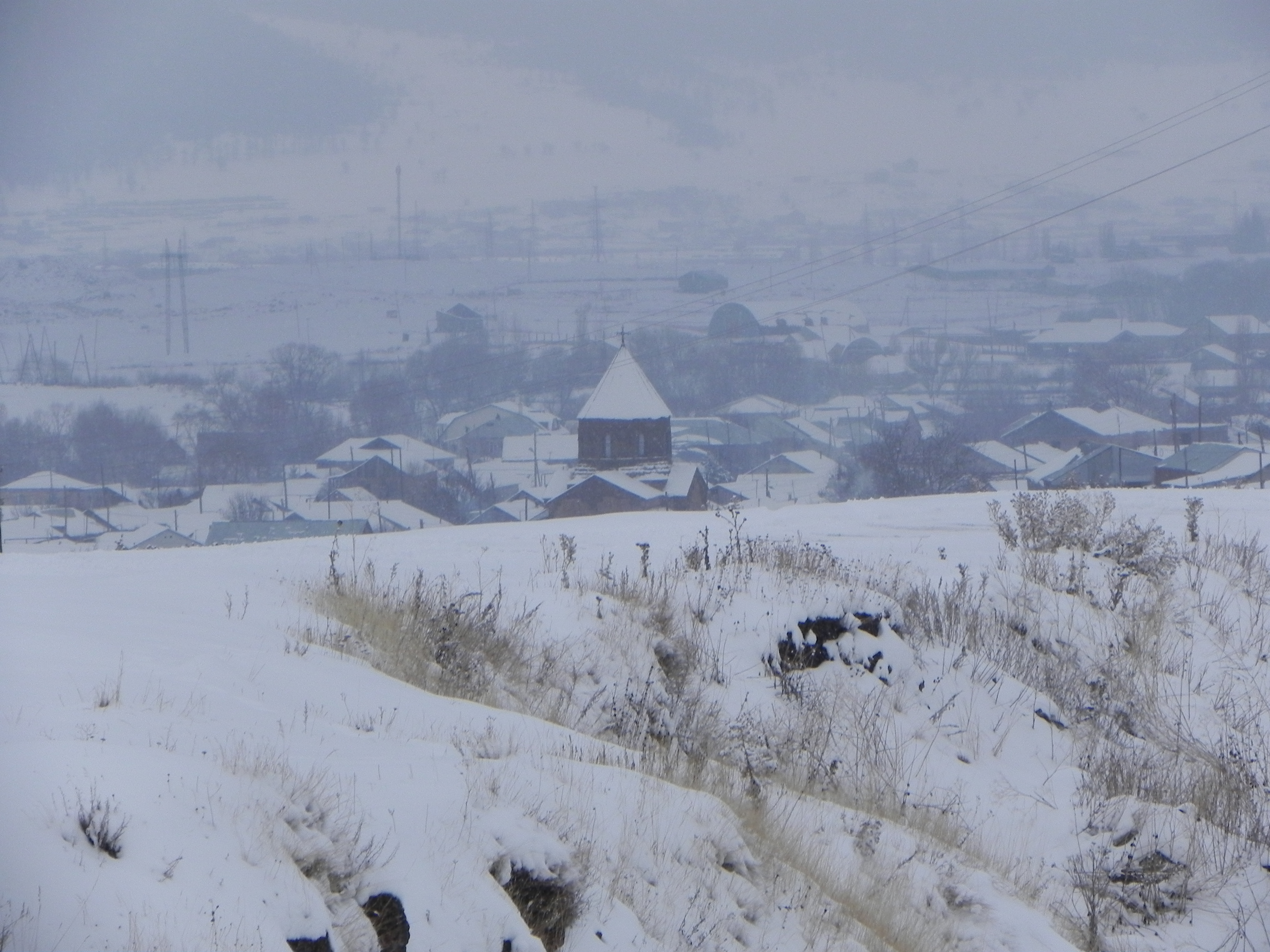
Ddmashen
Դդմաշեն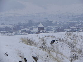
Administration Pays  Arménie
Région Gegharkunik Maire Avetis Avetisyan[1]
(2010)Géographie Coordonnées Superficie 4 126 ha = 41,26 km2 Démographie Population 2 876 hab. Densité 69,7 hab./km2 Localisation 


Ddmashen ou Dodmashen (en arménien Դդմաշեն) est une communauté rurale du marz de Gegharkunik, en Arménie. Fondée en 1828[2], elle compte 2 876 habitants en 2008[3].
Notes et références
- (hy+en) Central Electoral Commission of the Republic of Armenia. Consulté le 24 janvier 2011.
Pour obtenir la page en anglais, cliquez sur le drapeau arménien en haut à gauche, et sélectionnez « English » ; ensuite, dans le menu vertical de gauche, cliquez sur « Local », sélectionnez le marz pertinent, puis la dernière élection correspondant à la communauté voulue.
- (en) Brady Kiesling, Rediscovering Armenia, 2000, p. 41 [lire en ligne (page consultée le 25 mars 2010)] .
- (en) ArmStat, Marzes of the Republic of Armenia in figures, 2008, « RA Gegharkunik Marz », 2008. Consulté le 5 avril 2009.
Catégorie :- Communauté rurale du Gegharkunik
- (hy+en) Central Electoral Commission of the Republic of Armenia. Consulté le 24 janvier 2011.


Wikimedia Foundation. 2010.