Daranak
- Daranak
-
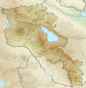
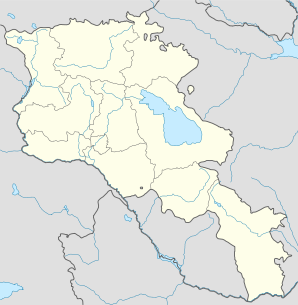
40° 22′ 00″ N 45° 34′ 00″ E / 40.366667, 45.566667
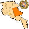
Daranak (en arménien Դարանակ ; anciennement Dara[2]) est une communauté rurale du marz de Gegharkunik, en Arménie. Fondée en 1921[2], elle compte 161 habitants en 2008[3].
Notes et références
- ↑ (hy+en) Central Electoral Commission of the Republic of Armenia. Consulté le 24 janvier 2011.
Pour obtenir la page en anglais,
cliquez sur le drapeau arménien en haut à gauche,
et sélectionnez «
English » ;
ensuite,
dans le menu vertical de gauche,
cliquez sur «
Local »,
sélectionnez le marz pertinent,
puis la dernière élection correspondant à la communauté voulue.
- ↑ a et b (en) Brady Kiesling, Rediscovering Armenia, 2000, p. 48 [lire en ligne (page consultée le 25 mars 2010)] .
- ↑ (en) ArmStat, Marzes of the Republic of Armenia in figures, 2008, « RA Gegharkunik Marz », 2008. Consulté le 11 avril 2009.
Wikimedia Foundation.
2010.
Contenu soumis à la licence CC-BY-SA. Source : Article Daranak de Wikipédia en français (auteurs)
Regardez d'autres dictionnaires:
Daranak — Coordinates: 40°22′N 45°34′E / 40.367°N 45.567°E / 40.367; 45.567 … Wikipedia
Dara (disambiguation) — Several places, people and other things have the name Dara, Daraa or Daras: Contents 1 Geography 2 People 3 Books and written media 4 Other uses … Wikipedia
Tanay, Rizal — Infobox Philippine municipality infoboxtitle = Municipality of Tanay sealfile = Ph seal rizal tanay.png region = CALABARZON (Region IV A) province = Rizal founded = 1606 pop2000 = 78,223 popden2000 = 233.7 areakm2 = 334.66 barangays = 19… … Wikipedia
Gavar — Coordinates: 40°21′32″N 45°07′36″E / 40.35889°N 45.12667°E / 40.35889; 45.12667 … Wikipedia
Artsvashen — For the village in Tartar Rayon, Azerbaijan, see Seysulan. Coordinates: 40°38′N 45°30′E / 40.633°N 45.5°E / 40.633; 45.5 … Wikipedia
Nerkin Getashen — Coordinates: 40°08′45″N 45°15′50″E / 40.14583°N 45.26389°E / 40.14583; 45.26389 … Wikipedia
Chambarak — Coordinates: 40°35′43″N 45°20′51″E / 40.59528°N 45.3475°E / 40.59528; 45.3475 … Wikipedia
Martuni, Armenia — For the village of the same name located on the northern side of Lake Sevan, see Martuni (village). Martuni Մարտունի Martuni at dusk … Wikipedia
Artsvanist — Coordinates: 40°09′16″N 45°30′08″E / 40.15444°N 45.50222°E / 40.15444; 45.50222 … Wikipedia
Lchashen — Coordinates: 40°31′13″N 44°55′51″E / 40.52028°N 44.93083°E / 40.52028; 44.93083 … Wikipedia
 Arménie


