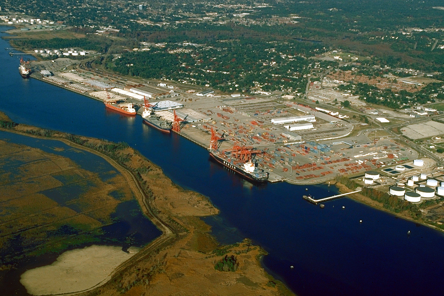
Cape Fear River
- Cape Fear River
-
Cape Fear (fleuve)
Le fleuve Cape Fear ((en) Cape Fear River) est un fleuve de l'est des États-Unis long de 325 kilomètres qui se jette dans l'océan Atlantique.
Parcours
Le fleuve débute à Haywood, Caroline du Nord, au confluent entre les rivières Deep et Haw, juste en aval du lac Jordan. Il se dirige ensuite vers le sud-est, passe par Lillington, Fayetteville et Elizabethtown puis reçoit les eaux de la rivière Black à 16 kilomètres au nord-ouest de Wilmington, ville où il reçoit les eaux de la rivière Northeast Cape Fear. Il se dirige enfin vers le sud pour se terminer dans un long estuaire à environ 5 kilomètres à l'ouest de Cape Fear.
Principaux affluents
- Deep
- Haw
- Black
- Northeast Cape Fear
Voir aussi
Liens externes
Notes et références
 Portail de l’eau
 Portail des États-Unis
Catégorie : Cours d'eau de la Caroline du Nord
Wikimedia Foundation.
2010.
Contenu soumis à la licence CC-BY-SA. Source : Article Cape Fear River de Wikipédia en français (auteurs)
Regardez d'autres dictionnaires:
Cape Fear River — Map of the Cape Fear River drainage basin Origin North Carolina Mouth Atlantic Ocean … Wikipedia
Cape Fear River — Einzugsgebiet des Cape Fear Rivers DatenVorlage:Infobox Fluss/GKZ fehlt Lage … Deutsch Wikipedia
Cape Fear River — River, central and southeastern North Carolina, U.S. Formed by the confluence of the Deep and Haw rivers, it flows southeast about 200 mi (320 km) to enter the Atlantic Ocean near Southport at Cape Fear. The southern estuary forms part of the… … Universalium
Cape Fear River — Cape Fear River, 360 km langer Fluß im nordamerikan. Staat Nordcarolina, entsteht aus der Vereinigung des Haw und Deep River, ist von Fayetteville ab schiffbar (192 km) und mündet unterhalb Wilmington in den Atlantischen Ozean … Meyers Großes Konversations-Lexikon
Cape Fear River — (spr. kehp fihr riww r), Fluß im nordamerik. Staate Nordkarolina, 480 km lg. (180 km schiffbar), mündet in den Atlant. Ozean … Kleines Konversations-Lexikon
Cape Fear River — noun a river in North Carolina that flows southeast to the Atlantic Ocean at Cape Fear • Instance Hypernyms: ↑river • Part Holonyms: ↑North Carolina, ↑Old North State, ↑Tar Heel State, ↑NC … Useful english dictionary
Northeast Cape Fear River — Map of the Cape Fear drainage basin showing the Northeast Cape Fear River The Northeast Cape Fear River is a blackwater river tributary of the Cape Fear River, approximately 130 mi (209 km) long, in southeastern North Carolina in the… … Wikipedia
Cape Fear Shiner — Conservation status Critically Endangered (IUCN 3.1 … Wikipedia
Cape Fear (disambiguation) — Cape Fear is a promontory on the coast of North Carolina in the United States.Cape Fear may also refer to:* Cape Fear (1962 film), directed by J. Lee Thompson, starring Gregory Peck and Robert Mitchum * Cape Fear (1991 film), a remake of the 1962 … Wikipedia
Cape Fear — is a prominent headland jutting into the Atlantic Ocean from Bald Head Island on the coast of North Carolina in the southeastern United States. It is largely formed of barrier beaches and the silty outwash of the Cape Fear River as it drains the… … Wikipedia
 Pour les articles homonymes, voir Cape Fear.
 États-Unis
 Caroline du Nord