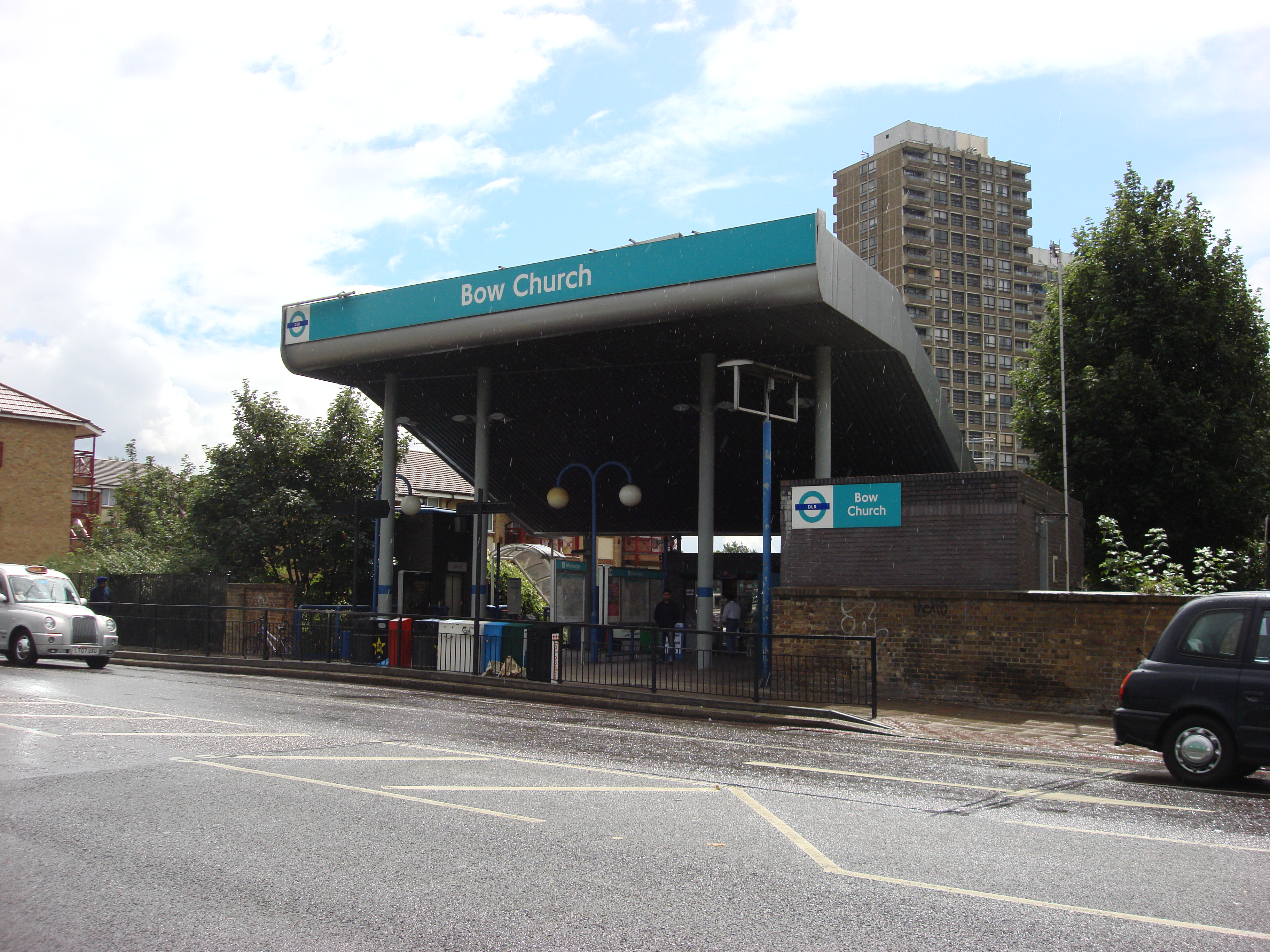
Bow Church (DLR)
- Bow Church (DLR)
-
Bow Church est une station du métro de Londres.
Caractéristiques
Lieux remarquables à proximité
Voir aussi
Articles connexes
Wikimedia Foundation.
2010.
Contenu soumis à la licence CC-BY-SA. Source : Article Bow Church (DLR) de Wikipédia en français (auteurs)
Regardez d'autres dictionnaires:
Bow Church (DLR) — Station Bow Church Bow Church ist eine Station der Docklands Light Railway (DLR) im Londoner Stadtbezirk London Borough of Tower Hamlets. Sie liegt in der Travelcard Tarifzone 2 an der Bow Road im Stadtteil Bow. Etwa zweihundert Meter weiter… … Deutsch Wikipedia
Bow Church DLR station — Bow Church station is a station on the Docklands Light Railway (DLR) in the Bow neighbourhood of east London.The station is located on the DLR s Stratford branch, between Devons Road and Pudding Mill Lane stations and is in Travelcard Zone 2. It… … Wikipedia
Bow Church (métro de Londres) — Bow Church (DLR) Bow Church Entrée de la station Localisation Distr … Wikipédia en Français
Bow Road railway station — was a former British Rail station in Bow, London. It was situated near to Bow Road tube station in East London, on the opposite side of Bow Road.It opened in 1892 as a Great Eastern Railway station, between Burdett Road (also since closed) and… … Wikipedia
Bow Road tube station — Bow Road station is a London Underground station on the District and Hammersmith and City lines, located in Bow, east London. It is 200 metres walk from Bow Church DLR station and is in Zone 2.The station was opened in 1902 by the Whitechapel Bow … Wikipedia
Bow railway station — was a former railway station in Bow, London on the North London Railway, between Old Ford and South Bromley. It was situated on the north side of Bow Road, very close to Bow Road railway station, which is now also closed.The original station… … Wikipedia
Bow, London — infobox UK place country = England map type = Greater London region= London population= official name= Bow latitude= 51.5298 longitude= 0.0288 constituency westminster= Bethnal Green and Bow post town= LONDON postcode area=E postcode district=E3… … Wikipedia
Devons Road DLR station — Devons Road … Wikipedia
Pudding Mill Lane DLR station — is a station on the Docklands Light Railway (DLR) in East London. It is situated in the road of the same name in a light industrial area.The station is located on the DLR s Stratford branch, between the Bow Church and Stratford stations and is on … Wikipedia
Christ Church, Spitalfields — is an Anglican church built between 1714 and 1729 to a design by Nicholas Hawksmoor. Situated on Commercial Street, in the London Borough of Tower Hamlets, on the eastern border and facing the City of London, it was one of the first (and arguably … Wikipedia
 Bow Church
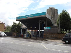
 DLR
DLR