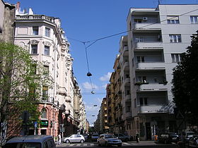
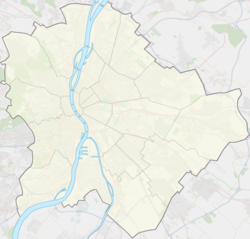
Újlipótváros
Contenu soumis à la licence CC-BY-SA. Source : Article Újlipótváros de Wikipédia en français (auteurs)
Regardez d'autres dictionnaires:
Újlipótváros — is a neighbourhood in the 13th district of Budapest, Hungary. It is to the north of the innermost districts of Budapest, its direct neighbour to the south is Lipótváros, to the east is Terézváros, to the north is Vizafogó and to the west is the… … Wikipedia
13e arrondissement de Budapest — Angyalföld 13e arrondissement de Budapest Pózsonyi út … Wikipédia en Français
Bauhaus in Budapest — was clearly a dominant tendency between 1930 and 1948: large residential buildings, cinemas, churches and even an airport was built in this style. Újlipótváros in XIII. district, Városmajor and Pasarét in II. district of Budapest. Pasarét… … Wikipedia
Budapest — Héraldique … Wikipédia en Français
Arrondissement de Budapest — Budapest, la capitale de la Hongrie, est subdivisée en 23 arrondissements (kerület en hongrois), chacun possédant son propre gouvernement municipal. Sommaire 1 Liste 2 Carte 3 Historique 4 … Wikipédia en Français
Margaret Island — The Water Tower, a famous landmark on Margaret Island. Margaret Island (Hungarian: Margit sziget[1][2]) is a 2.5 km (1.6 mi) long island, 500 metres (550 yards) wide … Wikipedia
Margaret Bridge — Margaret Bridge, aerial photo Official name Margit híd Carries two road lanes Crosses Danube R … Wikipedia
List of districts in Budapest — Budapest, the capital of Hungary has 23 kerület or districts, each with its own municipal government. Contents 1 The number of districts in Budapest 2 Districts … Wikipedia
Jászai Mari tér — Le Margit híd vue de la place. Situation Coordonnées … Wikipédia en Français
Vizafogó — Administration Pays Hongrie Ville Budapest … Wikipédia en Français
 Hongrie
 4 6
4 6


