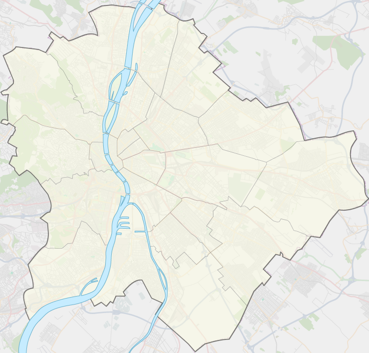
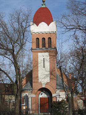
Rákospalota
Contenu soumis à la licence CC-BY-SA. Source : Article Rákospalota de Wikipédia en français (auteurs)
Regardez d'autres dictionnaires:
Rákospalota — is a neighbourhood in Budapest, Hungary. With Pestújhely and Újpalota it comprises District XV.HistoryIn the early Middle Ages there were about six villages in the northern part of the Rákos plain. About 1200 a church was built on the little hill … Wikipedia
Gare de Rákospalota-Újpest — Rákospalota Újpest Localisation Pays Hongrie Ville Budapest Quartier Újpest (4e), Rákospalota ( … Wikipédia en Français
Ligne 12 du tramway de Budapest — Pour les articles homonymes, voir Ligne 12. 12 es villamos Un modèle de tramway T5C5 … Wikipédia en Français
Pestújhely — (literally: New Settlement by Pest, German: Neustädtl) is one of the northern suburbs of Budapest, the capital of Hungary. It belongs to District XV. History Until the second half of the 19th century the area belonged to the village of… … Wikipedia
BHÉV 5–8 — BHÉV 5–8 / Drehersche Brauerei Kőbánya 1–3 / Kesthely–Balatonszentgyörgy TASSILO, GYÖRGY und MARIE / Budapest elektrische Stadtbahn 1–5 / MÁV VII 5091–5093 / Budapest–Újpest–Rákospalota MÁV VII 5091 –5093 MÁV… … Deutsch Wikipedia
Budapester Bezirke — Die Budapester Bezirke sind Gemeinden innerhalb der Hauptstadt und Einheiten der öffentlichen Verwaltung. Im Ungarischen werden die Bezirke mit römischen Zahlen im Uhrzeigersinn durchnummeriert. Satellitenbild der Stadt Budapest … Deutsch Wikipedia
Gare d'Istvántelek — Istvántelek Localisation Pays Hongrie Ville Budapest Quartier Istvántelek (4e) Coordonnées géograp … Wikipédia en Français
Gare de Rákosrendező — Rákosrendező Localisation Pays Hongrie Ville Budapest Quartier Angyalföld (13e) Coordonnées géogra … Wikipédia en Français
Ligne 62A du tramway de Budapest — Pour les articles homonymes, voir Ligne 62. 62A villamos … Wikipédia en Français
Ligne 62 du tramway de Budapest — Pour les articles homonymes, voir Ligne 62. 62 es villamos … Wikipédia en Français
 Hongrie
 12 14
12 14