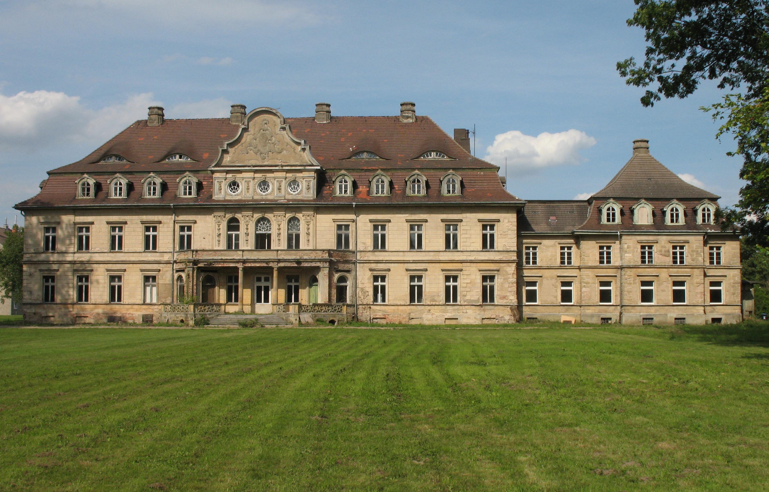
Vollrathsruhe

Vollrathsruhe
Vollrathsruhe
Image illustrative de l'article Vollrathsruhe
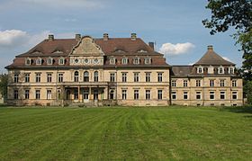
Château de Vollrathsruhe
Pas de blason défini
Germany location map.svg
Vollrathsruhe
Administration
Toponyme officiel
Pays Drapeau d'Allemagne Allemagne
Land Flag of Mecklenburg-Western Pomerania.svg Mecklembourg-Poméranie-Occidentale
Arrondissement
(Landkreis)
Plateau des lacs mecklembourgeois
Code communal
(Gemeindeschlüssel)
13 0 56 070
Code postal 17194
Indicatif téléphonique 039933
Immatriculation MÜR
Site web www.amt-seenlandschaft-waren.de/index1.html
Politique
Bourgmestre
(Bürgermeister)
Siegfried Grohmann
Partis au pouvoir
Géographie
Coordonnées 53° 38′ 36″ N 12° 29′ 28″ E / 53.64322, 12.49153° 38′ 36″ Nord
       12° 29′ 28″ Est
/ 53.64322, 12.491
  
Altitude (NN) 70 m
Superficie 31,24 km2
Démographie
Population 486 hab. (31 décembre 2009)
Densité 16 hab./km2

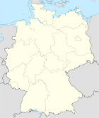
Vollrathsruhe est une commune d'Allemagne située dans l'arrondissement du Plateau des lacs mecklembourgeois, dans le Land de Mecklembourg-Poméranie-Occidentale.

Géographie

Vollrathsruhe se situe dans la région du plateau des lacs mecklembourgeois (Mecklenburgische Seenplatte), entre les lacs Malchiner See et Krakower See.

La commune englobe, outre le village de Vollrathsruhe, les hameaux de Groß Rehberg et Klein Rehberg, Hallalit, Kirch Grubenhagen, Klein Luckow, et Schloß Grugbenhagen.

Voir aussi

Références

Sur les autres projets Wikimedia :


Wikimedia Foundation. 2010.

Contenu soumis à la licence CC-BY-SA. Source : Article Vollrathsruhe de Wikipédia en français (auteurs)

Игры ⚽ Поможем сделать НИР

Regardez d'autres dictionnaires:

  • Vollrathsruhe — Wappen Deutschlandkarte …   Deutsch Wikipedia

  • Vollrathsruhe — Infobox Ort in Deutschland Wappen = kein lat deg = 53 |lat min = 38 |lat sec = 35 lon deg = 12 |lon min = 29 |lon sec = 24 Lageplan = Vollrathsruhe in MÜR.png Bundesland = Mecklenburg Vorpommern Landkreis = Müritz Amt = Seenlandschaft Waren Höhe …   Wikipedia

  • Vollrathsruhe — Original name in latin Vollrathsruhe Name in other language State code DE Continent/City Europe/Berlin longitude 53.64362 latitude 12.48819 altitude 93 Population 545 Date 2011 04 25 …   Cities with a population over 1000 database

  • Liste der Baudenkmale in Vollrathsruhe — Gutshaus Vollrathsruhe Mausoleum in Vollrathsruhe …   Deutsch Wikipedia

  • Alt Schwerin — Wappen Deutschlandkarte …   Deutsch Wikipedia

  • Bahnhof Waren (Müritz) — Wappen Deutschlandkarte …   Deutsch Wikipedia

  • Deutsches Entomologisches Museum — Das Deutsche Entomologische Institut (DEI), seit 2004 in Müncheberg ansässig und seit 2009 ein Bestandteil der Senckenberg Forschungsinstitute und Naturmuseen, ist eine traditionsreiche insektenkundliche Forschungseinrichtung, die bereits 1886… …   Deutsch Wikipedia

  • Groß-Kelle — Wappen Deutschlandkarte Hilfe zu Wappen …   Deutsch Wikipedia

  • Kittendorfer Peene — Vorlage:Infobox Fluss/DGWK fehltVorlage:Infobox Fluss/ABFLUSS fehltVorlage:Infobox Fluss/KARTE fehlt Peene Peene mit Autobahnbrücke bei Jarmen …   Deutsch Wikipedia

  • Klein-Luckow — Dieser Artikel befasst sich mit der vorpommerschen Gemeinde Klein Luckow. Ein Ortsteil der Gemeinde Vollrathsruhe in Mecklenburg trägt ebenfalls den Namen Klein Luckow. Wappen Deutschlandkarte Hilfe zu Wappen …   Deutsch Wikipedia

Share the article and excerpts

Direct link
Do a right-click on the link above
and select “Copy Link”