- Plášťovce
-
Plášťovce
(Village)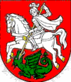
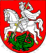
Héraldique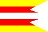
Drapeau
Administration Pays  Slovaquie
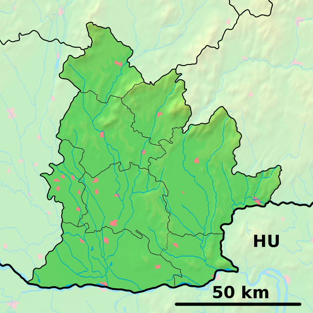
Région Région de Nitra District District de Levice Code postal 935 82 Plaque minéralogique LV Starosta (maire) Anikó Helység ( Indépendant )
Mandat: 2013
Démographie Population 1 661 hab. (31.12.2007) Densité 32,9 hab./km2 Géographie Coordonnées Altitude 147 m Superficie 5 050,8799 ha = 50,508799 km² Localisation en Slovaquie 
 Plášťovce
 Plášťovce
Localisation dans la région de Nitra Internet Site de la commune http://www.plastovce.sk Sources Resultat des élections http://www.e-obce.sk[1] http://www.statistics.sk[2] http://www.slovakregion.sk/[3] Plášťovce (allemand : Plastewitz , hongrois : Palást)[4] est un village de Slovaquie situé dans la région de Nitra.
Histoire
Première mention écrite du village en 1156.
La localité fut annexée par la Hongrie après le premier arbitrage de Vienne le 2 novembre 1938. En 1938, on comptait 1 931 habitants dont 7 d'origine juive. Elle faisait partie du district de Šahy (hongrois : Ipolysági járás). Le nom de la localité avant la Seconde Guerre mondiale était Plášťovce/Palást. Durant la période 1938 - 1945, le nom hongrois Palást était d'usage[5]. À la libération, la commune a été réintégrée dans la Tchécoslovaquie reconstituée.
Notes et références
Catégories :- Village de Slovaquie
- Village et ville du district de Levice


Wikimedia Foundation. 2010.