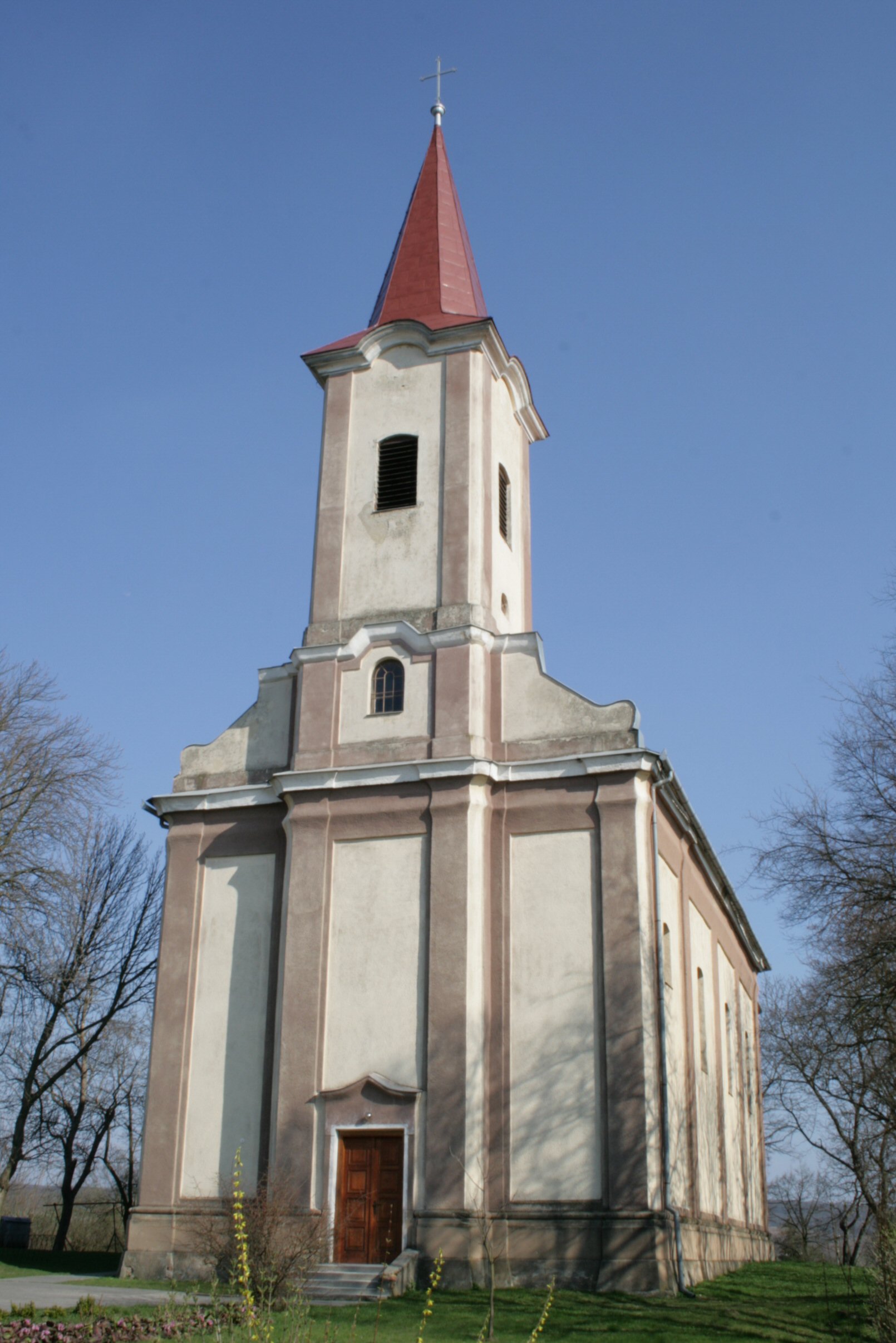
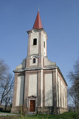
Kamenín
- Kamenín
-
Kamenín est un village de Slovaquie situé dans la région de Nitra.
Histoire
Première mention écrite du village en 1183.
Notes et références
Catégories : - Village de Slovaquie
- Village et ville du district de Nové Zámky
Wikimedia Foundation.
2010.
Contenu soumis à la licence CC-BY-SA. Source : Article Kamenín de Wikipédia en français (auteurs)
Regardez d'autres dictionnaires:
Kamenín — ( hu. Kéménd) is a village and municipality in the Nové Zámky District in the Nitra Region of south west Slovakia.HistoryIn historical records the village was first mentioned in 1183GeographyThe village lies at an altitude of 127 metres and… … Wikipedia
I/76 (Slowakei) — Vorlage:Infobox hochrangige Straße/Wartung/SK I Cesta I. triedy 76 in der Slowakei … Deutsch Wikipedia
Marina Inoue — 井上 麻里奈 Born January 20, 1985 (1985 01 20) (age 26) Tokyo, Japan … Wikipedia
District de Nové Zámky — Nové Zámky Informations Pays … Wikipédia en Français
Hron — Pour l’article homophone, voir Rhône (homonymie). Pour les articles homonymes, voir Gran. Hron … Wikipédia en Français
Nové Zámky — Coordinates: 47°59′08″N 18°09′28″E / 47.98556°N 18.15778°E / 47.98556; 18.15778 … Wikipedia
Nitra Region — Coordinates: 48°18′25″N 18°05′11″E / 48.30694°N 18.08639°E / 48.30694; 18.08639 … Wikipedia
Nové Zámky District — District Country Slovakia Region ( … Wikipedia
Šurany — Coordinates: 48°05′14″N 18°11′10″E / 48.08722°N 18.18611°E / 48.08722; 18.18611 … Wikipedia
List of municipalities and towns in Slovakia — Slovakia This is a comprehensive list of municipalities and towns in Slovakia. For lists of towns and municipalities sorted by Regions see the individual articles on Regions. For an outdated list of towns only in Slovakia see also List of towns… … Wikipedia
 Slovaquie
 Kamenín