Bešeňov
- Bešeňov
-
Bešeňov (hongrois : Zsitvabesenyő)[4] est un village de Slovaquie situé dans la région de Nitra.
Histoire
Première mention écrite du village en 1075.
Notes et références
Catégories :
- Village de Slovaquie
- Village et ville du district de Nové Zámky
Wikimedia Foundation.
2010.
Contenu soumis à la licence CC-BY-SA. Source : Article Bešeňov de Wikipédia en français (auteurs)
Regardez d'autres dictionnaires:
Bešeňov — ( hu. Zsitvabesenyő) is a municipality and village in the Nové Zámky District in the Nitra Region of south west Slovakia.HistoryIn historical records the village was first mentioned in 1075.GeographyThe village lies at an altitude of 121 metres… … Wikipedia
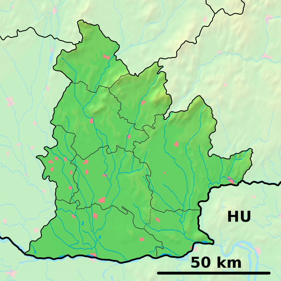
District de Nové Zámky — Nové Zámky Informations Pays … Wikipédia en Français
Nové Zámky — (Chef lieu de district) Héraldique … Wikipédia en Français
Nové Zámky — Coordinates: 47°59′08″N 18°09′28″E / 47.98556°N 18.15778°E / 47.98556; 18.15778 … Wikipedia
Bars county — Infobox Former Subdivision native name = Bars Vármegye conventional long name = Bars County common name = Bars subdivision = County nation = the Kingdom of Hungary p1 = s1 = Czechoslovakia flag s1 = Flag of Czechoslovakia.svg year start = 11th… … Wikipedia
Nitra Region — Coordinates: 48°18′25″N 18°05′11″E / 48.30694°N 18.08639°E / 48.30694; 18.08639 … Wikipedia
Nové Zámky District — District Country Slovakia Region ( … Wikipedia
Šurany — Coordinates: 48°05′14″N 18°11′10″E / 48.08722°N 18.18611°E / 48.08722; 18.18611 … Wikipedia
List of municipalities and towns in Slovakia — Slovakia This is a comprehensive list of municipalities and towns in Slovakia. For lists of towns and municipalities sorted by Regions see the individual articles on Regions. For an outdated list of towns only in Slovakia see also List of towns… … Wikipedia
Tekov — [Hungarian: Bars ] is the traditional name of a region situated in southern and central Slovakia. Its territory encompasses the former Tekov county, existing in the Kingdom of Hungary from the 11th century until 1918, though it is now… … Wikipedia
 Slovaquie
 Bešeňov