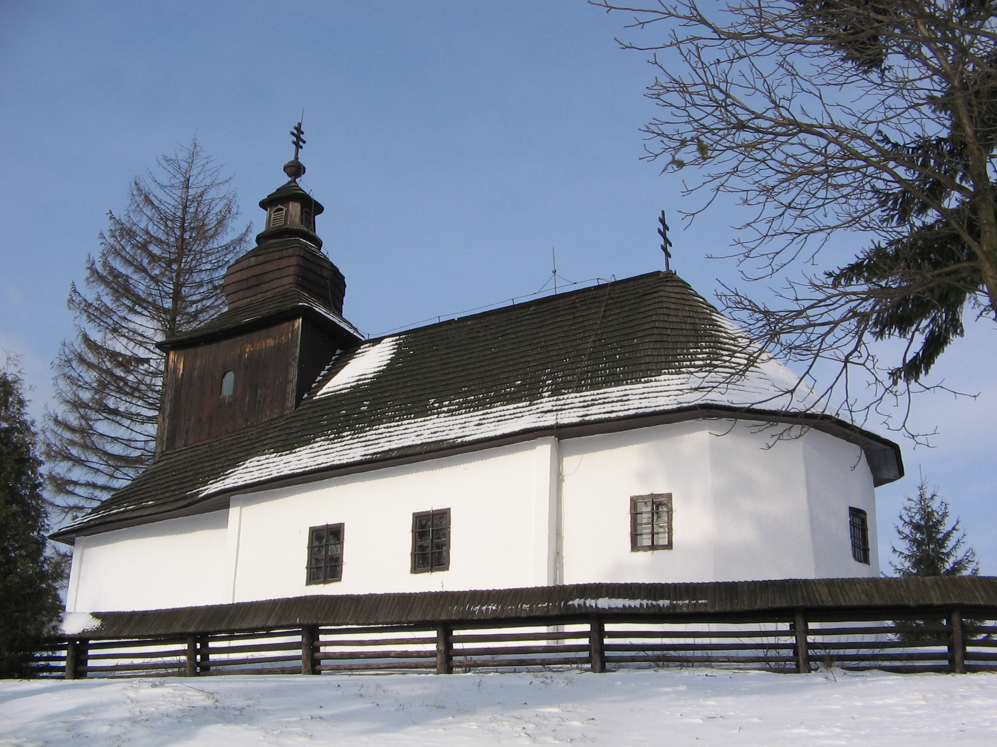
Kalná Roztoka
- Kalná Roztoka
-
Kalná Roztoka est un village de Slovaquie situé dans la région de Prešov.
Histoire
Première mention écrite du village en 1568.
Notes et références
Catégories :
- Village de Slovaquie
- Village et ville du district de Snina
Wikimedia Foundation.
2010.
Contenu soumis à la licence CC-BY-SA. Source : Article Kalná Roztoka de Wikipédia en français (auteurs)
Regardez d'autres dictionnaires:
Kalná Roztoka — is a village and municipality in Snina District in the Prešov Region of north eastern Slovakia.HistoryIn historical records the village was first mentioned around 1554 to 1568. In 1877 the villages of Kalná and Roztoka came together to form the… … Wikipedia
Hrabová Roztoka — (Village) Administration Pays Slovaquie … Wikipédia en Français
Stakčínska Roztoka — (Village) Administration Pays Slovaquie … Wikipédia en Français
Liste der Städte und Gemeinden in der Slowakei/H-Ľ — Übersicht H bis Ľ Teil 1 A bis G Teil 2 H bis Ľ Teil 3 M bis R Teil 4 S bis Ž Übersicht H CH I J K L Ľ H Städte und Gemeinden … Deutsch Wikipedia
Liste der Städte und Gemeinden in der Slowakei Teil 2 — Übersicht H bis Ľ Teil 1 A bis G Teil 2 H bis Ľ Teil 3 M bis R Teil 4 S bis Ž Übersicht H CH I J K L Ľ H Städte und Gemeinden … Deutsch Wikipedia
Snina District — District Country Slovakia Region (kraj … Wikipedia
Nová Sedlica — Location of Snina District in the Prešov Region. Nová Sedlica (Hungarian: Újszék, Ukrainian: Новоселиця (Novoselytsia)) is the easternmost village and municipality in Slovakia (the most eastern point is the Kremenec Mountain), in Snina District… … Wikipedia
Dlhé nad Cirochou — Location of Snina District in the Prešov Region. Dlhé nad Cirochou is a village and municipality in Snina District in the Prešov Region of north eastern Slovakia. History In historical records the village … Wikipedia
Čukalovce — Location of Snina District in the Prešov Region. Čukalovce is a village and municipality in Snina District in the Prešov Region of north eastern Slovakia. History In historical records the … Wikipedia
Dúbrava, Snina District — Location of Snina District in the Prešov Region. Dúbrava is a village and municipality in Snina District in the Prešov Region of north eastern Slovakia. History In historical records the … Wikipedia

 Slovaquie
 Kalná Roztoka