- Funny River (Alaska)
-
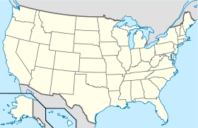
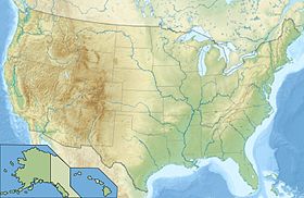
Funny River Administration Pays  États-Unis
État  Alaska
Borough Borough de la péninsule de Kenai Code FIPS 02-27145 GNIS 1865552 Démographie Population (2010) 877 hab. Densité 12 hab./km² Géographie Coordonnées Altitude 88 m Superficie totale 75,9 km2 · dont terre 70,4 km2 (92,75 %) · dont eau 5,5 km2 (7,25 %) Fuseau horaire AKST (UTC-9) 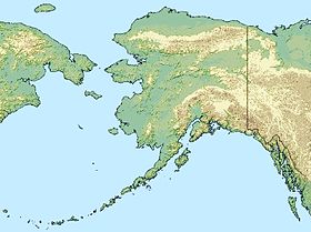

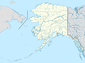

Funny River est une localité d'Alaska (CDP) aux États-Unis, appartenant au Borough de la péninsule de Kenai. Sa population était de 877 habitants en 2010.
Elle est située sur la Peninsule Kenai, à 15 milles (24 km) de Soldotna, le long de la rivière Kenai.
Les températures moyennes vont de 4 degrés Fahrenheit (-16 °C) à 22 degrés Fahrenheit (-6 °C) en janvier et de 46 degrés Fahrenheit (8 °C) à 65 degrés Fahrenheit (18 °C) en juillet.
Son nom provient de la rivière voisine, et a été référencé pour la première fois en 1904 par l'United States Geological Survey. La population s'est installée le long de la rivière entre 1950 et 1960. Actuellement, une route goudronnée relie Funny River à Soldotna.
Ses habitants travaillent et s'approvisionnent à Homer ou à Soldotna et pratiquent la pêche au saumon en juin et juillet.
Articles connexes
Notes et références
- (en) CIS
- (en) Cet article est partiellement ou en totalité issu de l’article de Wikipédia en anglais intitulé « Funny River, Alaska » (voir la liste des auteurs)


Wikimedia Foundation. 2010.