- Bossingham
-
Bossingham 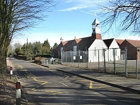 École à Bossingham
Administration Pays  Angleterre
Régions Sud-Est Comtés Kent District Canterbury Code postal CT4 Kent Kent Incendie Kent Ambulance Côte Sud-Est Géographie Coordonnées Localisation 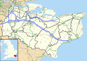
 Bossingham
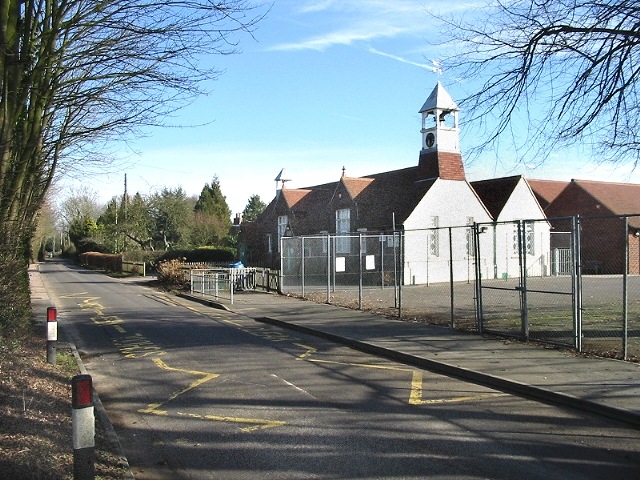
Bossingham est un hameau du district de Canterbury, dans le comté du Kent . Il est situé à environ cinq miles (8 km) au sud de Canterbury , et à 2 miles (3,2 km) au nord de Stelling Minnis sur une route parallèle à la voie romaine de Stone Street (la route A2068).
Sommaire
Vie du hameau
Il y a un Pub le Hop Pocket, nommé d'après le grands sacs dans lesquels le houblon été transportés.
Transport
Route
- Stone Street
- Route A2068
Communes Limitrophes
Annexes
Autres projets
Catégorie :- Hameau du Kent


Wikimedia Foundation. 2010.