Belamoty
- Belamoty
-
23° 33′ S 44° 48′ E / -23.55, 44.8
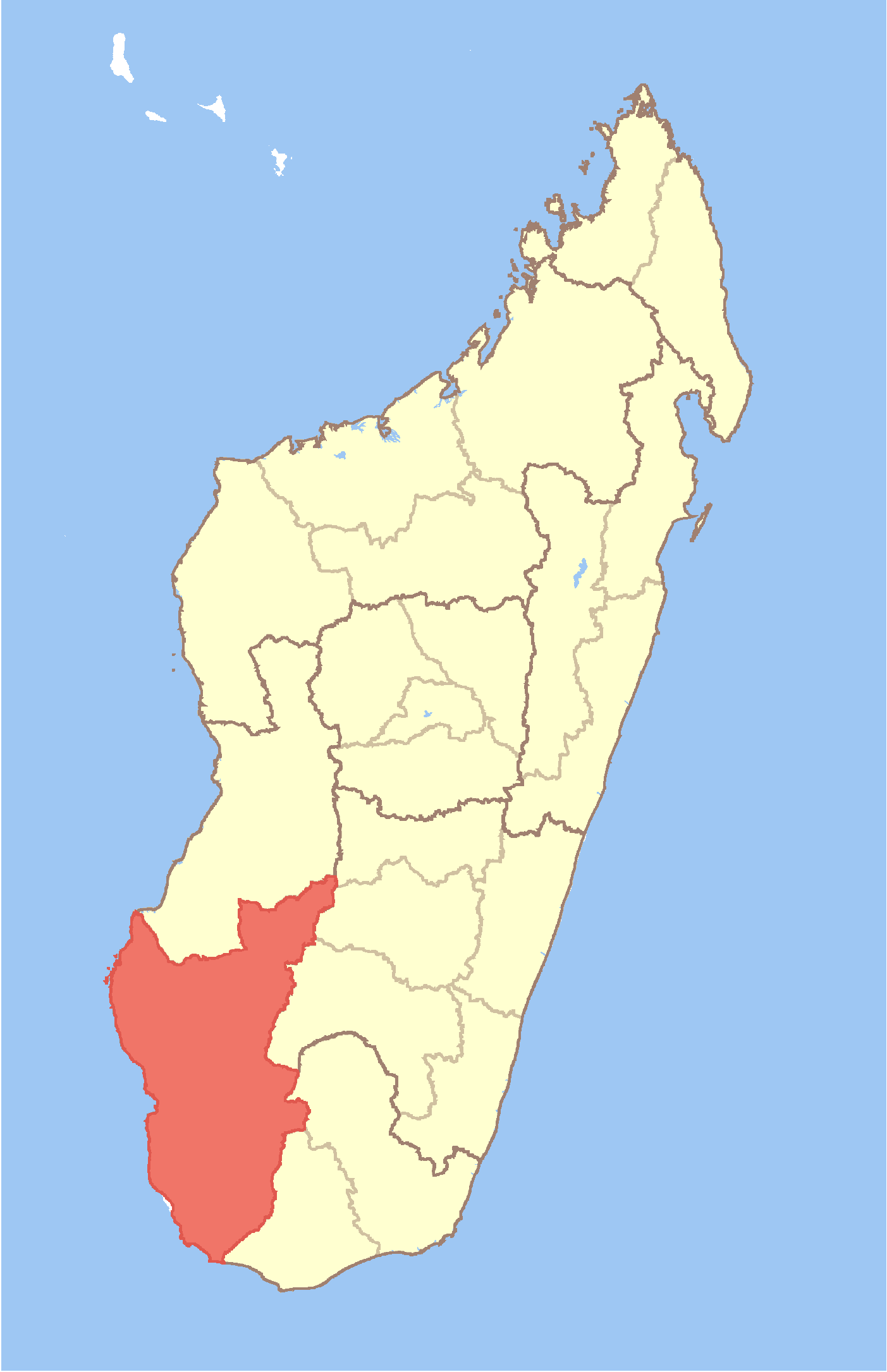
Belamoty est une commune urbaine malgache située dans la partie centre-est de la région d'Atsimo-Andrefana.
Géographie
Cette section est vide, insuffisamment détaillée ou incomplète.
Votre aide est la bienvenue !
Démographie
Cette section est vide, insuffisamment détaillée ou incomplète.
Votre aide est la bienvenue !
Économie
Cette section est vide, insuffisamment détaillée ou incomplète.
Votre aide est la bienvenue !
Notes et références
Voir aussi
Articles connexes
Wikimedia Foundation.
2010.
Contenu soumis à la licence CC-BY-SA. Source : Article Belamoty de Wikipédia en français (auteurs)
Regardez d'autres dictionnaires:
Belamoty — Infobox Settlement official name = Belamoty other name = native name = nickname = settlement type = motto = imagesize = image caption = flag size = image seal size = image shield = shield size = image blank emblem = blank emblem type = blank… … Wikipedia
Morombe — Map of former Toliara Province showing the location of Morombe (red). Coordinates … Wikipedia
Maniry — Maniry … Wikipedia
Montifeno — Montifeno … Wikipedia
Manalobe — Manalobe … Wikipedia
Masiaboay — Masiaboay … Wikipedia
Mandrofify — Mandrofify … Wikipedia
Manombo Sud — Manombo Sud … Wikipedia
Marofoty — Marofoty … Wikipedia
Maromiandra, Toliara II — Maromiandra … Wikipedia
 Madagascar