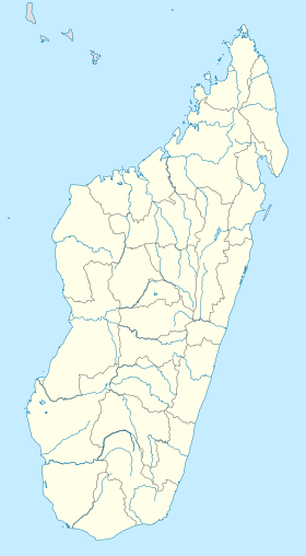
Beroroha
Contenu soumis à la licence CC-BY-SA. Source : Article Beroroha de Wikipédia en français (auteurs)
Regardez d'autres dictionnaires:
Beroroha — Infobox City official name = Beroroha mapsize = 183px map caption = Map of Toliara Province showing the location of Beroroha (red). subdivision type = Country subdivision name = Madagascar subdivision type1 = Province subdivision name1 =… … Wikipedia
Beroroha — Original name in latin Beroroha Name in other language Beroroha, Beroroho, Beroroka, WBO State code MG Continent/City Indian/Antananarivo longitude 21.66667 latitude 45.16667 altitude 205 Population 18632 Date 2013 06 06 … Cities with a population over 1000 database
Beroroha District — Admin ASC 2 Code Orig. name Beroroha District Country and Admin Code MG.7670913.8335352 MG … World countries Adminstrative division ASC I-II
District de Beroroha — Beroroha Région Atsimo Andrefana Chef lieu Beroroha Nombre de kaominina 5 Madagascar Subdivisio … Wikipédia en Français
Fanjakana (Beroroha) — 21° 41′ 00″ S 45° 07′ 00″ E / 21.683333, 45.116667 … Wikipédia en Français
Fanjakana, Beroroha — Infobox Settlement official name = Fanjakana other name = native name = nickname = settlement type = motto = imagesize = image caption = flag size = image seal size = image shield = shield size = image blank emblem = blank emblem type = blank… … Wikipedia
Mandronarivo — Mandronarivo … Wikipedia
Marerano — Marerano … Wikipedia
Atsimo-Andrefana — Localisation de la région d Atsimo Andrefana à Madagascar. L Atsimo Andrefana (en français : Sud Ouest) est une des vingt deux régions de Madagascar. Elle est située dans la province de Tuléar, dans le sud ouest de l île (d où son nom) … Wikipédia en Français
Behisatra — 21° 48′ 00″ S 45° 07′ 00″ E / 21.8, 45.116667 … Wikipédia en Français
 Madagascar

