Weiwerd
Contenu soumis à la licence CC-BY-SA. Source : Article Weiwerd de Wikipédia en français (auteurs)
Regardez d'autres dictionnaires:
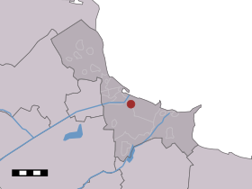
Weiwerd — Dutch town locator maps mun town caption = Weiwerd in the municipality of Delfzijl.Weiwerd (coord|53|19|N|6|57|E|type:city(100)) is a village in the Dutch province of Groningen. It is a part of the municipality of Delfzijl, and lies about 27 km… … Wikipedia
Delfzijl — Municipality Flag … Wikipedia
List of places in the Netherlands — This is an alphabetical list of places (cities, towns, villages) in the Netherlands. Lists per province can be found at:* List of towns in Groningen * List of towns in Friesland * List of towns in Drente * List of towns in Overijssel * List of… … Wikipedia
Meedhuizen — Town … Wikipedia
Liste niederländischer Bahnstrecken — Elektrifizierung des Schienennetzes: elektrifiziert nicht … Deutsch Wikipedia
Bierum — Administration Pays Pays Bas Province Groningue Commune … Wikipédia en Français
Biessum — 53°20′3″N 6°53′51″E / 53.33417, 6.8975 … Wikipédia en Français
Borgsweer — 53°17′53″N 7°0′51″E / 53.29806, 7.01417 … Wikipédia en Français
Delfzijl — Héraldique … Wikipédia en Français
Farmsum — 53°19′25″N 6°55′40″E / 53.32361, 6.92778 … Wikipédia en Français
 Pays-Bas