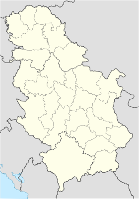
- Tomislavci
-
Tomislavci
ТомиславциAdministration Pays  Serbie
Province Voïvodine Région Bačka District Bačka septentrionale Municipalité Bačka Topola Géographie Coordonnées Altitude 107 m Superficie 7 570 ha = 75,7 km2 Démographie Population 696 hab. (2002) Densité 9,2 hab./km2 Localisation Tomislavci (en serbe cyrillique : Томиславци) est un village de Serbie situé dans la province autonome de Voïvodine. Il fait partie de la municipalité de Bačka Topola dans le district de Bačka septentrionale. En 2002, il comptait 696 habitants[1], dont une majorité de Serbes.
Le village de Tomslavci a autrefois été nommé Orešković, en l'honneur du Partisan communiste Marko Orešković, tué en 1941.
Sommaire
Démographie
Évolution historique de la population
Évolution démographique 1948 1953 1961 1971 1981 1991 2002 1 090 1 036 1 030 944 830 629 696[1] Répartition de la population
Nationalité Nombre % Serbes 657 94,39 Hongrois 15 2,15 Croates 6 0,86 Yougoslaves 6 0,86 Monténégrins 3 0,43 Roms 2 0,28 Allemands 2 0,28 Inconnus/Autres[2] Notes et références
- (sr) Livre 9, Population, analyse comparative de la population en 1948, 1953, 1961, 1971, 1981, 1991 et 2002, données par localités, Institut de statistique de la République de Serbie, Belgrade, mai 2004 (ISBN 86-84433-14-9)
- (sr) Livre 1, Population, origine nationale ou ethnique, données par localités, Institut de statistique de la République de Serbie, Belgrade, février 2003 (ISBN 86-84433-00-9)
Voir aussi
Articles connexes
Liens externes
- (en) Maplandia
- (en) Vue satellite de Tomislavci sur fallingrain.com
Wikimedia Foundation. 2010.

