- Shepherd's Bush
-
Shepherd's Bush 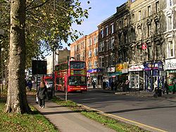
Boutiques sur Uxbridge Road.Géographie Pays  Royaume-Uni
Nation constitutive Angleterre Région Grand Londres Comté Grand Londres Comté cérémonial Grand Londres Comté traditionnel Middlesex District Hammersmith et Fulham Coordonnées Services Police Metropolitan Police Service Pompier London Fire Brigade Ambulance London Ambulance Service Médias ITV franchise ITV London BBC région BBC London BBC Local Radio BBC London Poste et téléphone Bureau receveur LONDONPréfixe d'appel 020Politique Parlement du Royaume-Uni Hammersmith et Fulham London Assembly Londres Central Ouest Parlement européen Londres Géolocalisation sur la carte : Grand Londres

Shepherd's Bush est un quartier de l'ouest de Londres, situé dans le district de Hammersmith et Fulham.
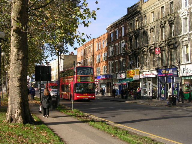
C'est un secteur très résidentiel, dont le point névralgique est 'Shepherd's Bush Green' (ou 'Shepherd's Bush Common'), un espace vert triangulaire d'environ trois hectares entouré de commerces. Shepherd's Bush est desservi par cinq gares de métro et une gare ferroviaire[1].
Dans ce quartier se trouve un gigantesque centre commercial de 270 boutiques, Westfield London, qui a ouvert en 2008. C'est le plus grand centre commercial d'Europe.
Notes et références
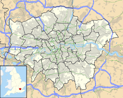
- voyez la carte ci-dessous
Galerie
-

Gare renouvelle, qui s'est complétée en 2008.
-

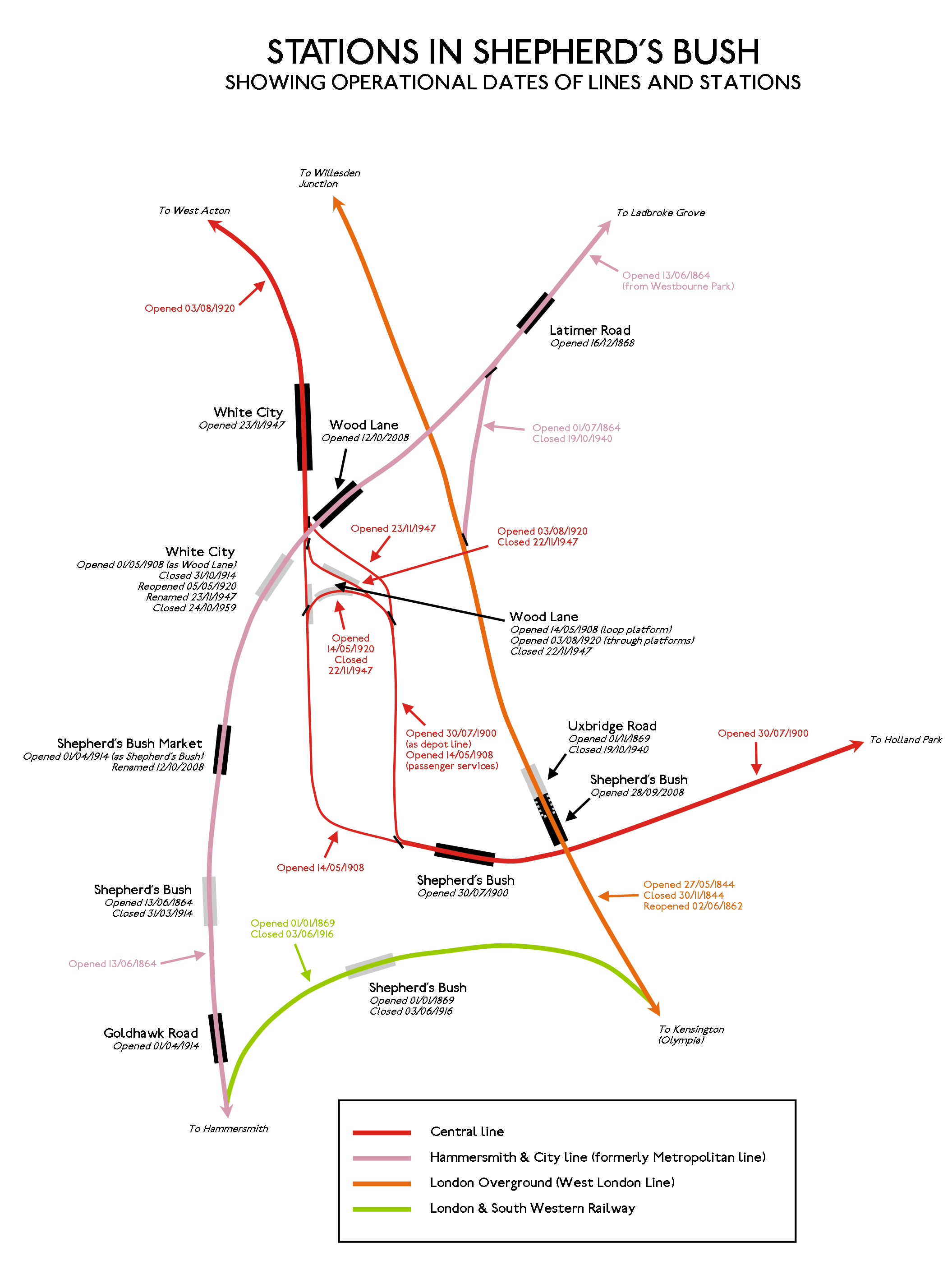
Carte des stations du métro à Shepherd's Bush


Wikimedia Foundation. 2010.