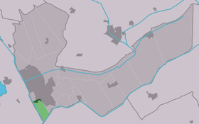
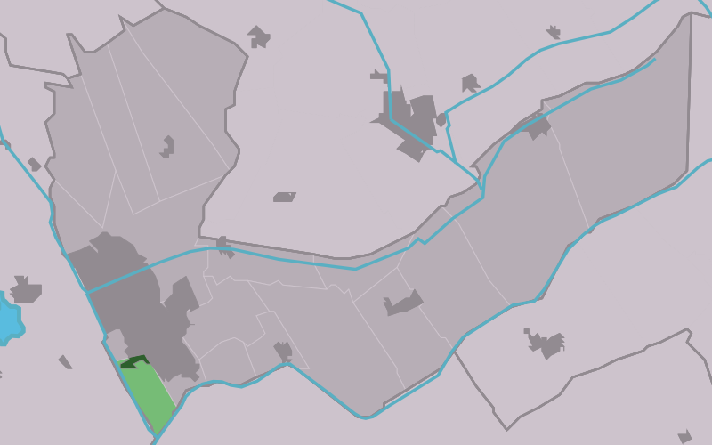
Nieuweschoot
Contenu soumis à la licence CC-BY-SA. Source : Article Nieuweschoot de Wikipédia en français (auteurs)
Regardez d'autres dictionnaires:
Nieuweschoot — Village Country … Wikipedia
Nijskoat — Nieuweschoot 52°56′0″N 5°55′30″E / 52.93333, 5.925 … Wikipédia en Français
Heerenveen — Infobox Settlement official name = Heerenveen image seal size = 70px mapsize = 280px subdivision type = Country subdivision name = Netherlands subdivision type1 = Province subdivision name1 = Friesland area footnotes = (2006) area total km2 = 140 … Wikipedia
List of places in the Netherlands — This is an alphabetical list of places (cities, towns, villages) in the Netherlands. Lists per province can be found at:* List of towns in Groningen * List of towns in Friesland * List of towns in Drente * List of towns in Overijssel * List of… … Wikipedia
Yep Kramer — (born 15 November 1957, Nieuweschoot) is a Dutch long track and marathon speed skater. He is the father of speed skaters Sven Kramer and Brecht Kramer.MedalsAn overview of medals won by Kramer at important championships he participated in,… … Wikipedia
Heerenveen — Gemeinde Heerenveen Flagge Wappen Provinz … Deutsch Wikipedia
Aldehoarne — Oudehorne 52°57′45″N 6°4′50″E / 52.9625, 6.08056 … Wikipédia en Français
Aldskoat — Oudeschoot 52°56′5″N 5°57′17″E / 52.93472, 5.95472 … Wikipédia en Français
Bontebok (Frise) — 52°57′47″N 6°1′32″E / 52.96306, 6.02556 … Wikipédia en Français
De Knijpe — De Knipe 52°58′7″N 5°58′16″E / 52.96861, 5.97111 … Wikipédia en Français
 Pays-Bas