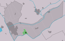
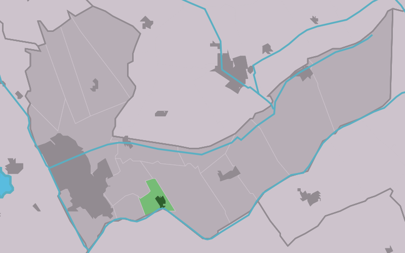
Mildam
Contenu soumis à la licence CC-BY-SA. Source : Article Mildam de Wikipédia en français (auteurs)
Regardez d'autres dictionnaires:
Mildam — Village Country … Wikipedia
MİLDEM (MİLDÂM) — Çekirdek dövdükleri taş. * Ahmak ve iri vücutlu kimse … Yeni Lügat Türkçe Sözlük
Mildaam — Mildam 52°56′10″N 6°0′6″E / 52.93611, 6.00167 … Wikipédia en Français
Louis Guillaume Le Roy — L artiste chez lui Louis Guillaume Le Roy, né le 31 octobre 1924 à Amsterdam, est un artiste néerlandais du paysage qui construit ce qu il appelle ecokathedraal (« écocathédrale ») à Mildam aux Pays Bas … Wikipédia en Français
Louis G. Le Roy — (* 1924 in Amsterdam) ist ein niederländischer Architekt und Öko Pionier Er ist Autor u.A. des Buches Natur ausschalten Natur einschalten (Klett Cotta 1983, ISBN 3 608 93059 0) International bekannt geworden ist Le Roy durch seine… … Deutsch Wikipedia
Louis Le Roy — 2006 in seinem Arbeitszimmer Louis Guillaume Le Roy (* 31. Oktober 1924 in Amsterdam) ist ein niederländischer Architekt und Öko Pionier Werk Er ist Autor u.a. des Buches Natur ausschalten Natur einschalten (Klett Cotta 1983 … Deutsch Wikipedia
Heerenveen — Infobox Settlement official name = Heerenveen image seal size = 70px mapsize = 280px subdivision type = Country subdivision name = Netherlands subdivision type1 = Province subdivision name1 = Friesland area footnotes = (2006) area total km2 = 140 … Wikipedia
Kinderdijk — Coordinates: 51°53′N 4°38′E / 51.883°N 4.633°E / 51.883; 4.633 … Wikipedia
List of places in the Netherlands — This is an alphabetical list of places (cities, towns, villages) in the Netherlands. Lists per province can be found at:* List of towns in Groningen * List of towns in Friesland * List of towns in Drente * List of towns in Overijssel * List of… … Wikipedia
De Adriaan, Haarlem — Windmill De Adriaan De Adriaan is a windmill in the Netherlands that burnt down in 1932 and was rebuilt in 2002. The original windmill dates from 1779 and the mill has been a distinctive part of the skyline of Haarlem for centuries. Contents … Wikipedia
 Pays-Bas