Khot
- Khot
-
39° 26′ 24″ N 46° 20′ 10″ E / 39.44, 46.336111
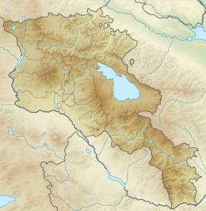
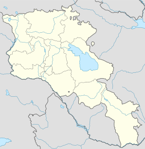
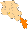
Khot (en arménien Խոտ) est une communauté rurale du marz de Syunik en Arménie. En 2008, elle compte 1 029 habitants[2].
Notes et références
- ↑ (hy+en) Central Electoral Commission of the Republic of Armenia. Consulté le 24 janvier 2011.
Pour obtenir la page en anglais,
cliquez sur le drapeau arménien en haut à gauche,
et sélectionnez «
English » ;
ensuite,
dans le menu vertical de gauche,
cliquez sur «
Local »,
sélectionnez le marz pertinent,
puis la dernière élection correspondant à la communauté voulue.
- ↑ (en) ArmStat, Marzes of the Republic of Armenia in figures, 2008, « RA Syunik Marz », 2008. Consulté le 14 août 2009.
Wikimedia Foundation.
2010.
Contenu soumis à la licence CC-BY-SA. Source : Article Khot de Wikipédia en français (auteurs)
Regardez d'autres dictionnaires:
KHOT — may refer to: * KHOT (AM), a radio station at 1250 AM in Madera, California, United States * KHOT FM, a radio station at 105.9 FM in Paradise Valley, Arizona, United States * Hot Springs Memorial Field Airport in Hot Springs, Arkansas, United… … Wikipedia
khot|la — «KOT lah», noun. a meeting place of villagers in Lesotho. ╂[< Sotho khotla] … Useful english dictionary
KHOT-FM — Infobox Radio Station name = KHOT/KHOV city = KHOT: Paradise Valley, Arizona KHOV: Wickenburg, Arizona area = Phoenix, Arizona branding = La Nueva 105.9 slogan = airdate = KHOT: 1996 KHOV: 1990 frequency = KHOT: 105.9 MHz KHOV: 105.3 MHz format … Wikipedia
Khot — Infobox Settlement official name =Khot Խոտ native name = pushpin mapsize =150px subdivision type = Country subdivision name = Armenia subdivision type1 = Marz (Province) subdivision name1 =Syunik leader title = leader name = established title =… … Wikipedia
Khot'kovo — Original name in latin Khot kovo Name in other language KHOT KOVO, Khot kovo, ХОТЬКОВО, Хотьково State code RU Continent/City Europe/Moscow longitude 56.25699 latitude 37.99544 altitude 200 Population 20872 Date 2008 05 07 … Cities with a population over 1000 database
khoṭ — खोट् … Indonesian dictionary
Huai Khot — ห้วยคด Provinz: Uthai Thani Fläche: 424,17 km² Einwohner: 19.547 (2005) Bev.dichte: 46,1 E./km² PLZ: 61170 … Deutsch Wikipedia
Amphoe Huai Khot — Huai Khot ห้วยคด Provinz: Uthai Thani Fläche: 424,17 km² Einwohner: 19.547 (2005) Bev.dichte: 46,1 E./km² PLZ: 61170 … Deutsch Wikipedia
Huai Khot — 1 Original name in latin Huai Khot Name in other language Amphoe Huai Khot, Huai Khot, King Amphoe Huai Khot, hwy kht State code TH Continent/City Asia/Bangkok longitude 15.29094 latitude 99.61661 altitude 106 Population 0 Date 2012 01 16 2… … Cities with a population over 1000 database
Amphoe Huai Khot — Infobox Amphoe name=Huai Khot thai=ห้วยคด province=Uthai Thani coordinates=coord|15|17|29|N|99|37|0|E|type:adm2nd region:TH capital=Huai Khot area=424.17 population= 19,547 population as of=2005 density=46.1 postal code=61170 geocode=6108Huai… … Wikipedia
 Arménie


