Karahunj
- Karahunj
-
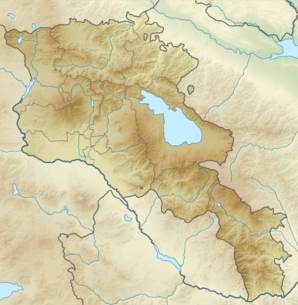
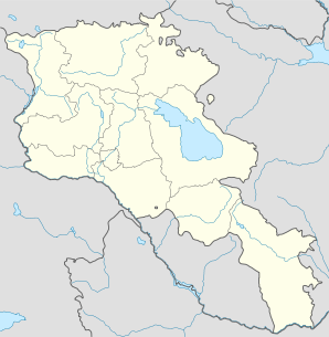
39° 28′ 45″ N 46° 21′ 32″ E / 39.479167, 46.358889
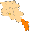
Karahunj ou Qarahunj (en arménien Քարահունջ) est une communauté rurale du marz de Syunik en Arménie. En 2008, elle compte 1 302 habitants[2].
Notes et références
- ↑ (hy+en) Central Electoral Commission of the Republic of Armenia. Consulté le 24 janvier 2011.
Pour obtenir la page en anglais,
cliquez sur le drapeau arménien en haut à gauche,
et sélectionnez «
English » ;
ensuite,
dans le menu vertical de gauche,
cliquez sur «
Local »,
sélectionnez le marz pertinent,
puis la dernière élection correspondant à la communauté voulue.
- ↑ (en) ArmStat, Marzes of the Republic of Armenia in figures, 2008, « RA Syunik Marz », 2008. Consulté le 14 août 2009.
Wikimedia Foundation.
2010.
Contenu soumis à la licence CC-BY-SA. Source : Article Karahunj de Wikipédia en français (auteurs)
Regardez d'autres dictionnaires:
Karahunj — For a megalithic structure in Armenia, see Zorats Karer; for a village in Azerbaijan, see Karaundzh, Azerbaijan. Infobox Settlement official name = Karahunj Քարահունջ name local = pushpin mapsize =150px subdivision type = Country subdivision name … Wikipedia
Zorats Karer — ( transl|hy|Zorac‘ K‘arer, Zorac Qarer, Zorakarer, Zorakar Armenian: hy. Զորաց Քարեր), also known as Angelakot or Karahunj ( transl|hy|K‘arahunǰ, Qarahunj, Karahundj , hy. Քարահունջ), is a megalithic structure near the city of Sisian in the… … Wikipedia
Paris Herouni — Paris M. Herouni is an Armenian professor and scientist in the fields of radio physics, radio engineering, and radio astronomy. He is the current head of the “Antenna Systems” chair (founded by him), in the State Engineering University of Yerevan … Wikipedia
Observatory — This article is about scientific observatories. For the suburb of Cape Town, see Observatory, Cape Town. For other uses, see The Observatory (disambiguation). The Sphinx Observatory at the Jungfraujoch in the Swiss Alps; high altitude… … Wikipedia
Prehistoric Armenia — The Armenian Highland shows traces of settlement from the Neolithic era. The Shulaveri Shomu culture of the central Transcaucasus region is the earliest known prehistoric culture in the area, carbon dated to roughly 6000 4000 BC. Another early… … Wikipedia
Agarak — Pour les articles homonymes, voir Agarak (homonymie). 38° 51′ 53″ N 46° 11′ 41″ E / … Wikipédia en Français
Agarak (Syunik) — Pour les articles homonymes, voir Agarak (homonymie). 39° 12′ 14″ N 46° 32′ 50″ E / … Wikipédia en Français
Aghitu — 39° 30′ 55″ N 46° 04′ 51″ E / 39.515278, 46.080833 … Wikipédia en Français
Aghvani — 39° 21′ 18″ N 46° 18′ 11″ E / 39.355, 46.303056 … Wikipédia en Français
Akhlatyan — 39° 26′ 32″ N 46° 02′ 07″ E / 39.442222, 46.035278 … Wikipédia en Français
 Arménie


