Hoher Ziegspitz

Hoher Ziegspitz
Hoher Ziegspitz
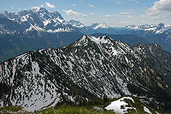
Le Hoher Ziegspitz et le Zugspitze (arrière-plan)
Géographie
Altitude 1 864 m
Massif Alpes d'Ammergau
Coordonnées 47° 30′ 08″ Nord
       11° 00′ 14″ Est
/ 47.50222, 11.00389
47°30′08″N 11°00′14″E / 47.50222, 11.00389
Administration
Pays Drapeau d'Allemagne Allemagne
Land Bavière
District Haute-Bavière
Ascension
Voie la plus facile Depuis Garmisch-Partenkirchen

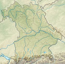
Géolocalisation sur la carte : Bavière

(Voir situation sur carte : Bavière)
Hoher Ziegspitz

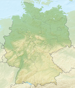
Géolocalisation sur la carte : Allemagne

(Voir situation sur carte : Allemagne)
Hoher Ziegspitz

Le Hoher Ziegspitz est un sommet des Alpes, à 1 864 m, dans les Alpes d'Ammergau, en Allemagne (Bavière).


Wikimedia Foundation. 2010.

Contenu soumis à la licence CC-BY-SA. Source : Article Hoher Ziegspitz de Wikipédia en français (auteurs)

Игры ⚽ Поможем решить контрольную работу

Regardez d'autres dictionnaires:

  • Hoher Ziegspitz — von Norden, im Hintergrund die Zugspitze Höhe …   Deutsch Wikipedia

  • Ammergebirge — f1p5 Ammergauer Alpen Lage der Ammergauer Alpenn innerhalb der Ostalpen Höchster Gipfel Daniel ( …   Deutsch Wikipedia

  • Alpes d'Ammergau — 47° 25′ 59″ N 10° 52′ 48″ E / 47.4331, 10.88 …   Wikipédia en Français

  • Ammergauer Alpen — f1p5 Ammergauer Alpen Lage der Ammergauer Alpen innerhalb der Ostalpen Höchster Gipfel Daniel ( …   Deutsch Wikipedia

Share the article and excerpts

Direct link
Do a right-click on the link above
and select “Copy Link”