Gulf Islands National Seashore
Contenu soumis à la licence CC-BY-SA. Source : Article Gulf Islands National Seashore de Wikipédia en français (auteurs)
Regardez d'autres dictionnaires:
Gulf Islands National Seashore — Infobox Protected area name = Gulf Islands National Seashore iucn category = V caption = locator x = 195 locator y = 141 location = Escambia Okaloosa counties, Florida Jackson Harrison counties, Mississippi, USA nearest city = Pensacola, FL… … Wikipedia
Gulf Islands National Seashore — Sp Įlankos Salų nacionãlinė pakrántė Ap Gulf Islands National Seashore L JAV (Alabamos, Floridos, Misisipės v jos) … Pasaulio vietovardžiai. Internetinė duomenų bazė
Gulf Islands National Seashore — ▪ recreation area, United States group of barrier islands along the coast of the Gulf of Mexico (Mexico, Gulf of) in the southern United States, located near Gulfport and Biloxi, southern Mississippi, and near Pensacola, northwestern… … Universalium
National Seashore — Inseln im Schutzgebiet Canaveral National Seashore Als National Seashore (engl. Nationale Meeresküste) werden an der Küste gelegene Schutzgebiete in den Vereinigten Staaten bezeichnet, die durch die Bundesregierung der Vereinigten Staaten als… … Deutsch Wikipedia
National seashore — A National Seashore, in the United States, is a seashore area federally designated as being of natural and recreational significance as a preserved area.There are 10 National Seashores with a total area of 479,054 acres (1,938.4 km²).cite book |… … Wikipedia
Cumberland Island National Seashore — IUCN Category II (National Park) … Wikipedia
national seashore — (sometimes caps.) an area of seacoast set aside and maintained by the U.S. government for purposes of recreation or wildlife study. [1960 65] * * * ▪ United States in the United States, any of a number of coastal areas reserved by the… … Universalium
National Park Service — Arrowhead Agency overview Formed August 25, 1916 Jurisdiction … Wikipedia
National Register of Historic Places listings in Harrison County, Mississippi — Location of Harrison County in Mississippi This is a list of the National Register of Historic Places listings in Harrison County, Mississippi. This is intended to be a complete list of the properties and districts on the National Register of… … Wikipedia
National Park Passport Stamps — Example of a National Park Passport Stamp for the Boston Harbor Islands National Recreation Area At nearly all of the 397 American National Park units (and many of the National Park Service s affiliated areas), one or more National Park Passport… … Wikipedia
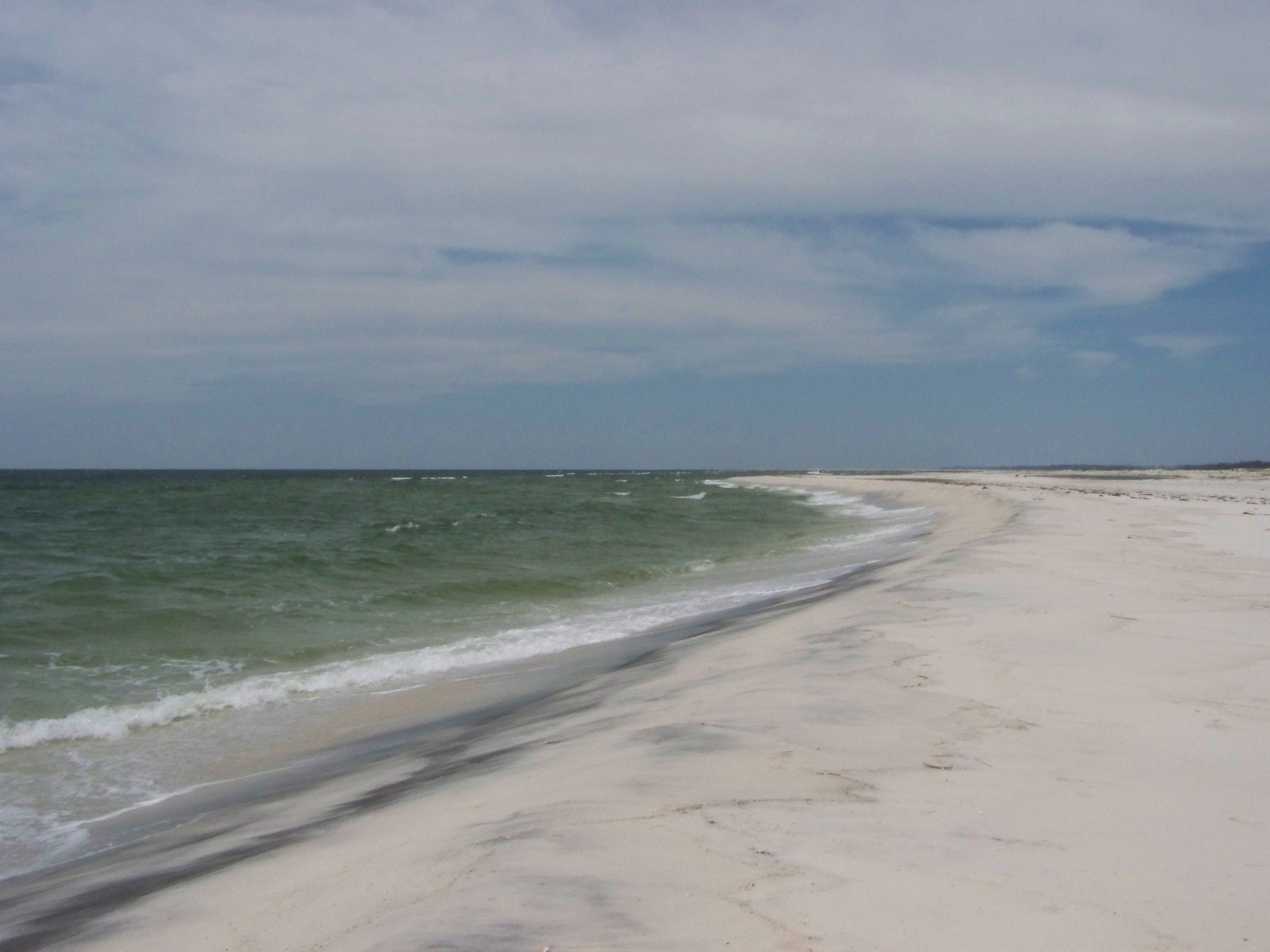
 Vue partielle de l'île de Santa Rosa
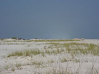
 Vue partielle de l'île Horn