Gorreto

Gorreto
Gorreto
Image illustrative de l'article Gorreto
Administration
Pays Drapeau d'Italie Italie
Région Flag of Liguria.svg Ligurie 
Province Gênes 
Code ISTAT 010026
Code postal 16020
Préfixe tel. 010
Culture et démographie
Population 113 hab. (31-12-2010[1])
Densité 6,3 hab./km²
Gentilé gorretesi
Saint patron San Fermo
Fête patronale 9 juillet
Géographie
Coordonnées 44° 36′ 00″ N 9° 18′ 00″ E / 44.60000, 9.3000044° 36′ 00″ Nord
       9° 18′ 00″ Est
/ 44.60000, 9.30000
  
Altitude 533 m
Superficie 18 km²
Code cadastral E109
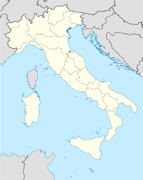
Voir la carte administrative
Gorreto
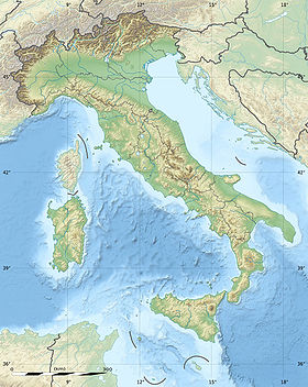
Voir la carte topographique
Gorreto

Gorreto est une commune de la province de Gênes en Ligurie (Italie).

Sommaire

Géographie

Histoire

Économie

Culture

Administration

Liste des maires (sindaci) successifs
Période Identité Parti Qualité
14 juin 2004 - 30 mars 2008 Luciano Antonio Bombace Lista Civica  
30 mars 2008 Giorgio Montignani Lista Civica  
Toutes les données ne nous sont pas encore connues.

Hameaux

Alpe di Gorreto, Borgo, Bosco, Canneto, Fontanarossa, Pissino, Varni

Communes limitrophes

Carrega Ligure, Fascia, Ottone, Rovegno

Évolution démographique

Habitants recensés


Personnalités liées à la ville

Notes et références


Wikimedia Foundation. 2010.

Contenu soumis à la licence CC-BY-SA. Source : Article Gorreto de Wikipédia en français (auteurs)

Игры ⚽ Поможем написать реферат

Regardez d'autres dictionnaires:

  • Gorreto — Gorreto …   Deutsch Wikipedia

  • Gorreto — Gorreto …   Wikipedia Español

  • Gorreto — Infobox CityIT img coa = official name = Gorreto name = Gorreto region = Liguria province = Province of Genoa (GE) elevation m = 533 area total km2 = 18.6 population as of = Dec. 2004 population total = 147 population density km2 = 8 timezone =… …   Wikipedia

  • Gorreto — Original name in latin Gorreto Name in other language Goreio, Gorreto State code IT Continent/City Europe/Rome longitude 44.60485 latitude 9.29126 altitude 528 Population 147 Date 2012 02 15 …   Cities with a population over 1000 database

  • Trebbia — 45°04′N 9°41′E / 45.067, 9.683 …   Wikipédia en Français

  • Горрето — Коммуна Горрето Gorreto Страна ИталияИталия …   Википедия

  • Val Trebbia — Vue du val Trebbia au sud de Bobbio. Massif Apennins Pays  Italie …   Wikipédia en Français

  • Rondanina — Infobox CityIT img coa = official name = Rondanina name = Rondanina region = Liguria province = Province of Genoa (GE) elevation m = 981 area total km2 = 12.7 population as of = Dec. 2004 population total = 83 population density km2 = 7 timezone …   Wikipedia

  • Berggemeinde Alta Val Trebbia — Comunità Montana Alta Val Trebbia Staat: Italien   Region: Ligurien Provinz: Genua …   Deutsch Wikipedia

  • Carrega — Ligure …   Deutsch Wikipedia

Share the article and excerpts

Direct link
Do a right-click on the link above
and select “Copy Link”