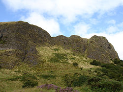
Cave Hill
Contenu soumis à la licence CC-BY-SA. Source : Article Cave Hill de Wikipédia en français (auteurs)
Regardez d'autres dictionnaires:
Cave Hill — The names Cave Hill and Cavehill refer to a number of places:Barbados* Cave Hill can refer to two areas, located on the island nation of Barbados. For one of the main campuses of the University of the West Indies located at Cave Hill, St. Michael … Wikipedia
Cave Hill, Barbados — Cave Hill , in Barbados can refer to two areas located on the island nation of Barbados. For one of the main campuses of the University of the West Indies located at Cave Hill, St. Michael see below.The Cave Hill are in Barbados can refer to: *… … Wikipedia
Cave Hill, Saint Michael, Barbados — Cave Hill, St. Michael is a suburban area situated in the parish of St. Michael. It is located about 4 km north west of the capital city Bridgetown along the west coast of Barbados.University of the West Indies campusThe name Cave Hill, St.… … Wikipedia
Cave Hill, Saint Lucy, Barbados — Cave Hill, St. Lucy is in the Parish of St. Lucy on the island nation of Barbados. Cave Hill, St. Lucy is a coastal area located on the north eastern Atlantic Ocean side of the island. The beaches of the Cave Hill, St Lucy area are much rockier… … Wikipedia
Cave Hill Cemetery — Infobox nrhp name = Cave Hill Cemetery nrhp type = nrhp caption = Main entrance on Baxter Avenue location = Louisville, Kentucky nearest city = | lat degrees = 38 | lat minutes = 14 | lat seconds = 44.00 | lat direction = N long degrees = 85 |… … Wikipedia
Cave Hill Cemetery — 38° 14′ 44″ N 85° 42′ 57″ W / 38.2456, 85.7158 … Wikipédia en Français
Cave Aux Fées — La Cave aux Fées Données géographiques Géolocalisation sur la carte : Yvelines … Wikipédia en Français
Cave aux Fees — Cave aux Fées La Cave aux Fées Données géographiques Géolocalisation sur la carte : Yvelines … Wikipédia en Français
Cave aux fées — La Cave aux Fées Données géographiques Géolocalisation sur la carte : Yvelines … Wikipédia en Français
Cave Dale — (sometimes spelt Cavedale) is a dry limestone valley in the Derbyshire Peak District, England. It is located at grid reference gbm4ibx|SK149824. The northern end of the dale starts at the village of Castleton where the valley sides are almost… … Wikipedia
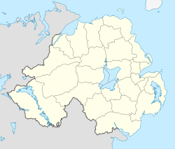
 Royaume-Uni
 Irlande du Nord